
husky385_imp
Running like a top
Thread starter
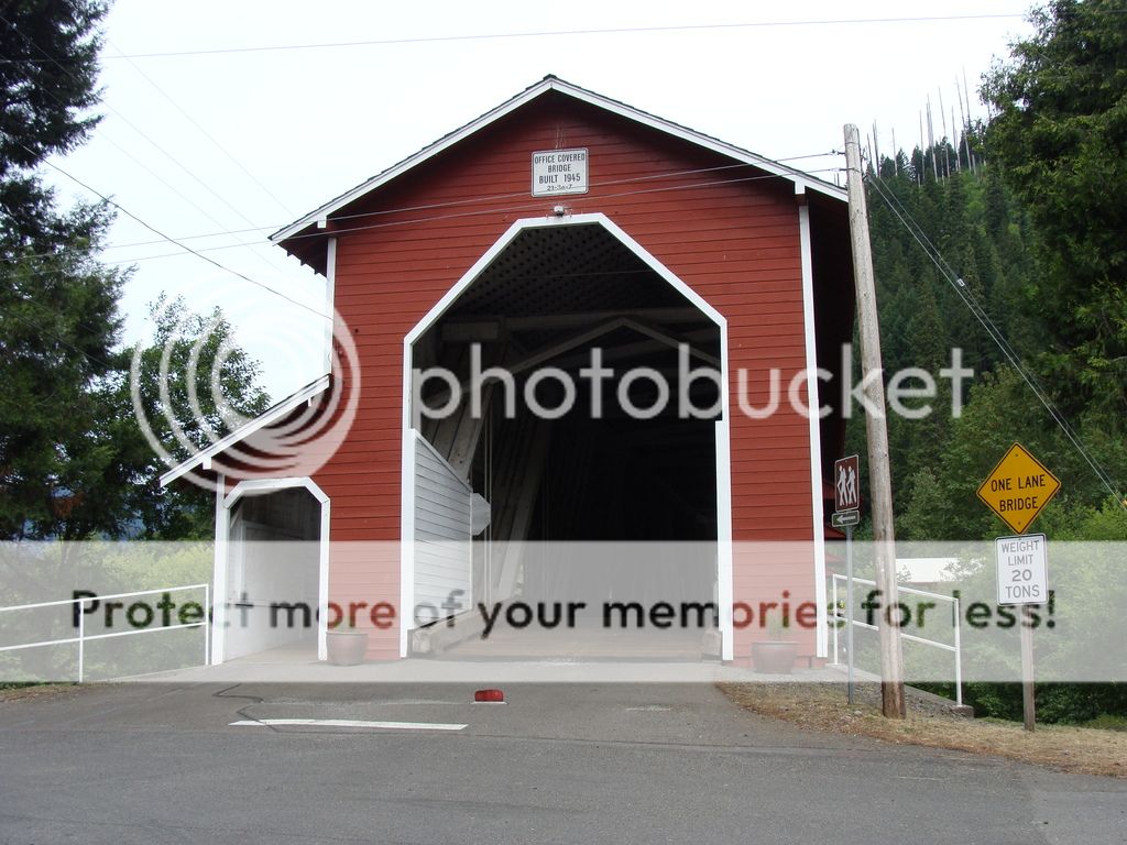
My ride today started from the North fork of the West fork Willamette river.
This covered bridge is the beginning of my ride from one river drainage to another.
some pictures going upriver.
[url=http://s694.photobucket.com/user/husky385/media/DSC06112.jpg.html]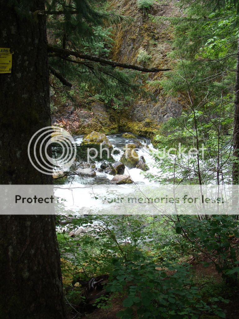
Stopped and talked these fellows from Washington traveling the back roads.
[url=http://s694.photobucket.com/user/husky385/media/DSC06116.jpg.html]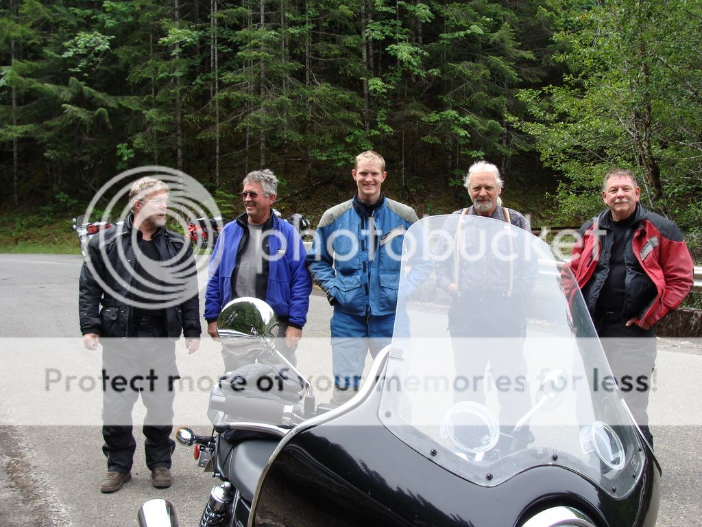
[url=http://s694.photobucket.com/user/husky385/media/DSC06113.jpg.html]
Some large Douglas fir along the road.
[url=http://s694.photobucket.com/user/husky385/media/DSC06160.jpg.html]
A named grove of trees that I hadn't noticed on previous rides on that road.
[url=http://s694.photobucket.com/user/husky385/media/DSC06171.jpg.html]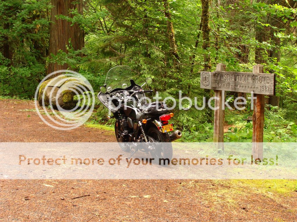
They named trees after Presidents.
[url=http://s694.photobucket.com/user/husky385/media/DSC06169.jpg.html]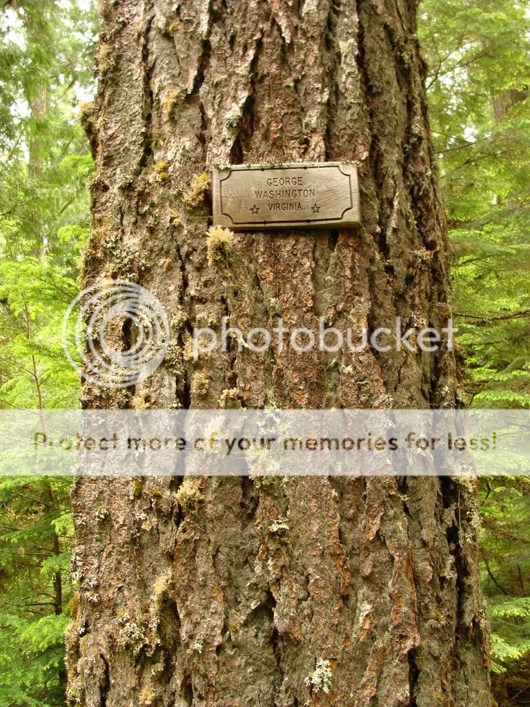
At the summit heading down to the South fork McKenzie river.
[url=http://s694.photobucket.com/user/husky385/media/DSC06183.jpg.html]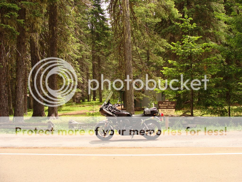
Beautiful meadow on the top.
[url=http://s694.photobucket.com/user/husky385/media/DSC06189.jpg.html]
Lots of curves on this road but this is the tightest.
[url=http://s694.photobucket.com/user/husky385/media/DSC06197.jpg.html]
South fork McKenzie.
[url=http://s694.photobucket.com/user/husky385/media/DSC06220.jpg.html]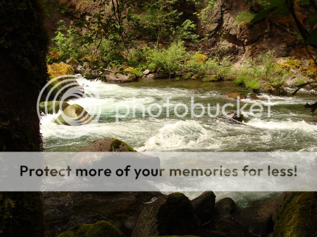
I have more interesting pictures of this ride if interested.
Thanks
Kevin
This covered bridge is the beginning of my ride from one river drainage to another.

some pictures going upriver.
[url=http://s694.photobucket.com/user/husky385/media/DSC06112.jpg.html]
Stopped and talked these fellows from Washington traveling the back roads.
[url=http://s694.photobucket.com/user/husky385/media/DSC06116.jpg.html]
[url=http://s694.photobucket.com/user/husky385/media/DSC06113.jpg.html]
Some large Douglas fir along the road.
[url=http://s694.photobucket.com/user/husky385/media/DSC06160.jpg.html]
A named grove of trees that I hadn't noticed on previous rides on that road.
[url=http://s694.photobucket.com/user/husky385/media/DSC06171.jpg.html]
They named trees after Presidents.
[url=http://s694.photobucket.com/user/husky385/media/DSC06169.jpg.html]
At the summit heading down to the South fork McKenzie river.
[url=http://s694.photobucket.com/user/husky385/media/DSC06183.jpg.html]
Beautiful meadow on the top.
[url=http://s694.photobucket.com/user/husky385/media/DSC06189.jpg.html]
Lots of curves on this road but this is the tightest.
[url=http://s694.photobucket.com/user/husky385/media/DSC06197.jpg.html]
South fork McKenzie.
[url=http://s694.photobucket.com/user/husky385/media/DSC06220.jpg.html]
I have more interesting pictures of this ride if interested.
Thanks
Kevin


