Spokane and the Grand Coulee Dam

pdedse

Moderator
Staff member
Thread starter
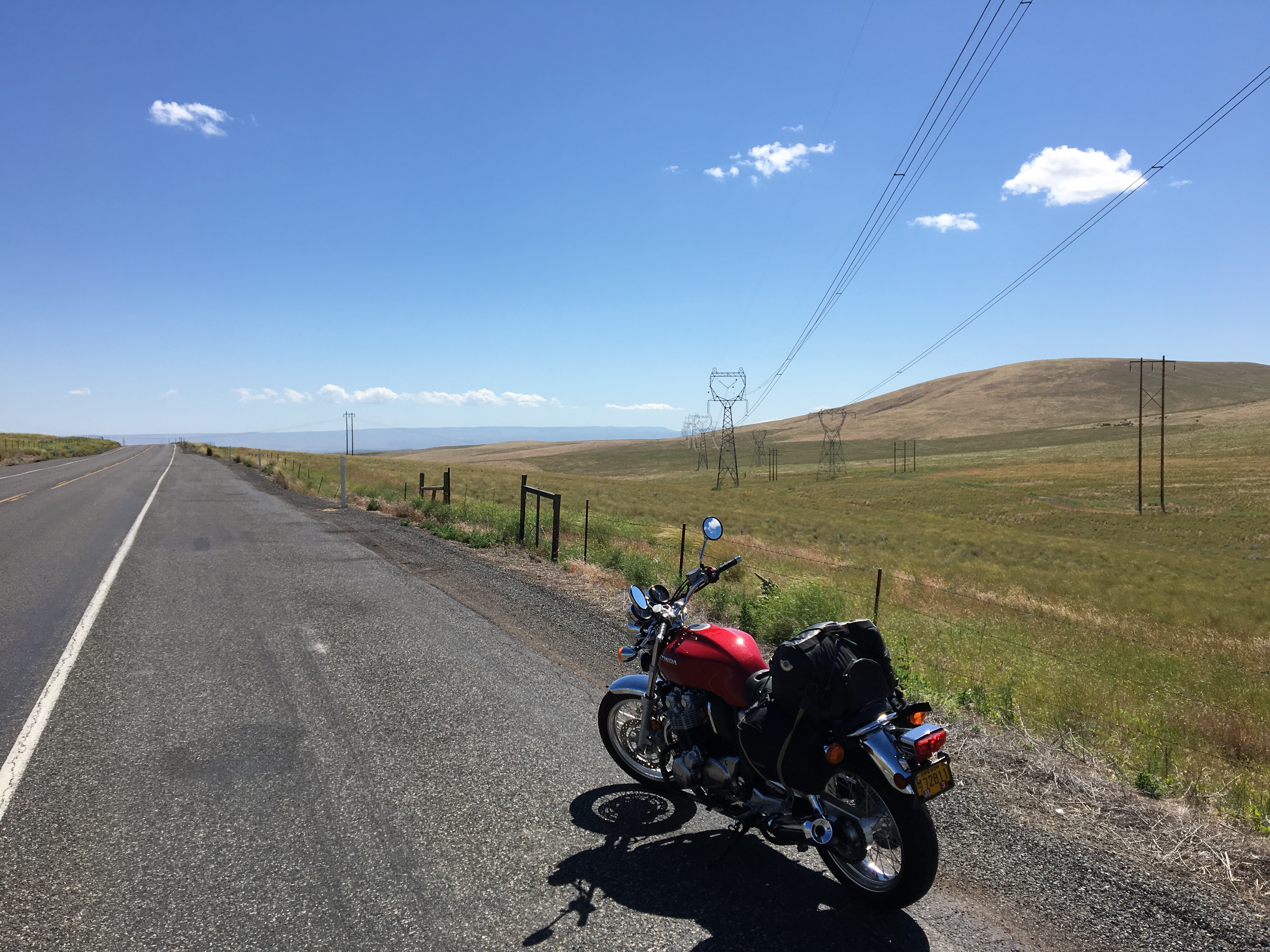
My son's job takes him to Spokane and I have this week off so I thought I'd go visit him while he's there. Left by 9am Monday and I wanted to get into Spokane around the time he got off work at 5. It always takes me longer to get the bike ready than what I think it's going to take, but after dorking around for too long, it was time to get on the road:
25f223b72f0e613c8595b6eb928fede7.jpg


I took hiway 84 east along the Columbia River, then crossed at Hermiston, taking 82 north to Kennewick, WA. From there, 395 north to 90, then a bit more east to Spokane. Cell phone tower repairmen an hour from Spokane.
d8dda2d0fd8505f4a34bbd8a5dd32171.jpg

I look angry, but it was a warm day and I think the heat was getting to me.

Made it by 5, my son just got to the hotel as I did, so that was good timing. Downtown hotel had covered parking, but $17 a night even for motorcycles!

We found an interesting Italian restaurant within walking distance and the food was amazing and my son ordered a ton of food. Said it was on him, and the hotel to boot! Just what I like: a cheap mc trip! He's been at his job less than a year and it's good to see him make his way into the world of work.
 
Thread starter
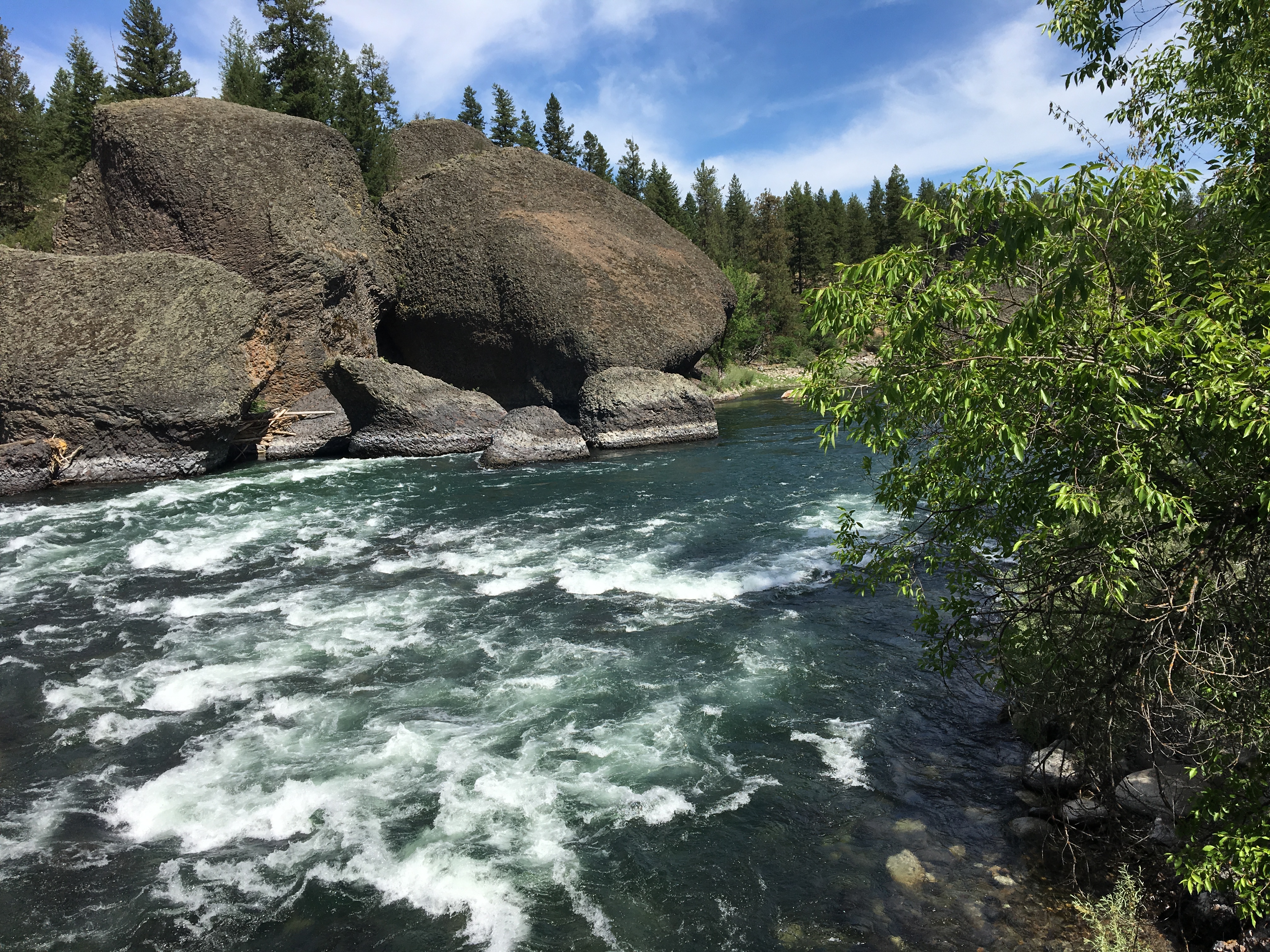
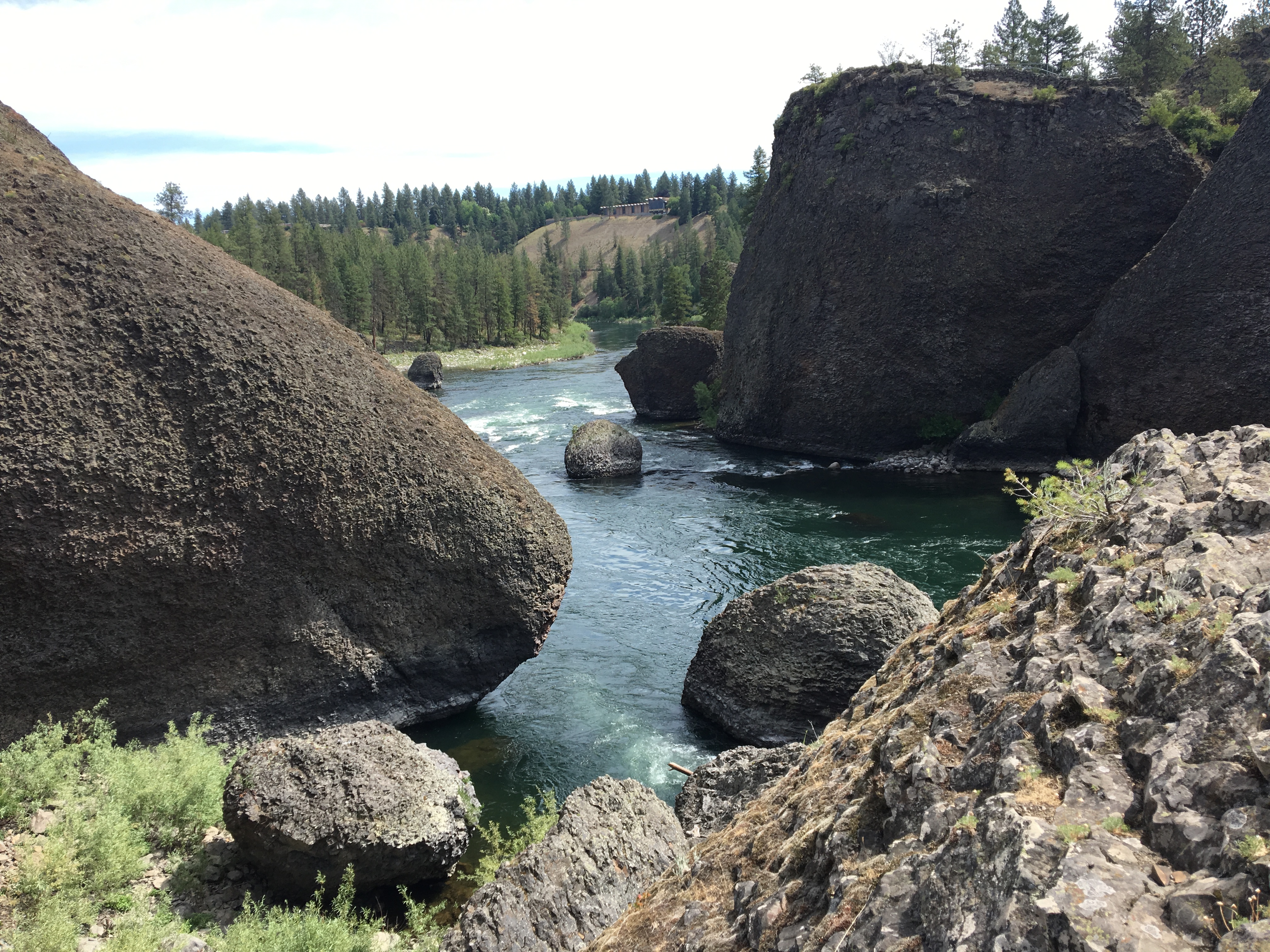
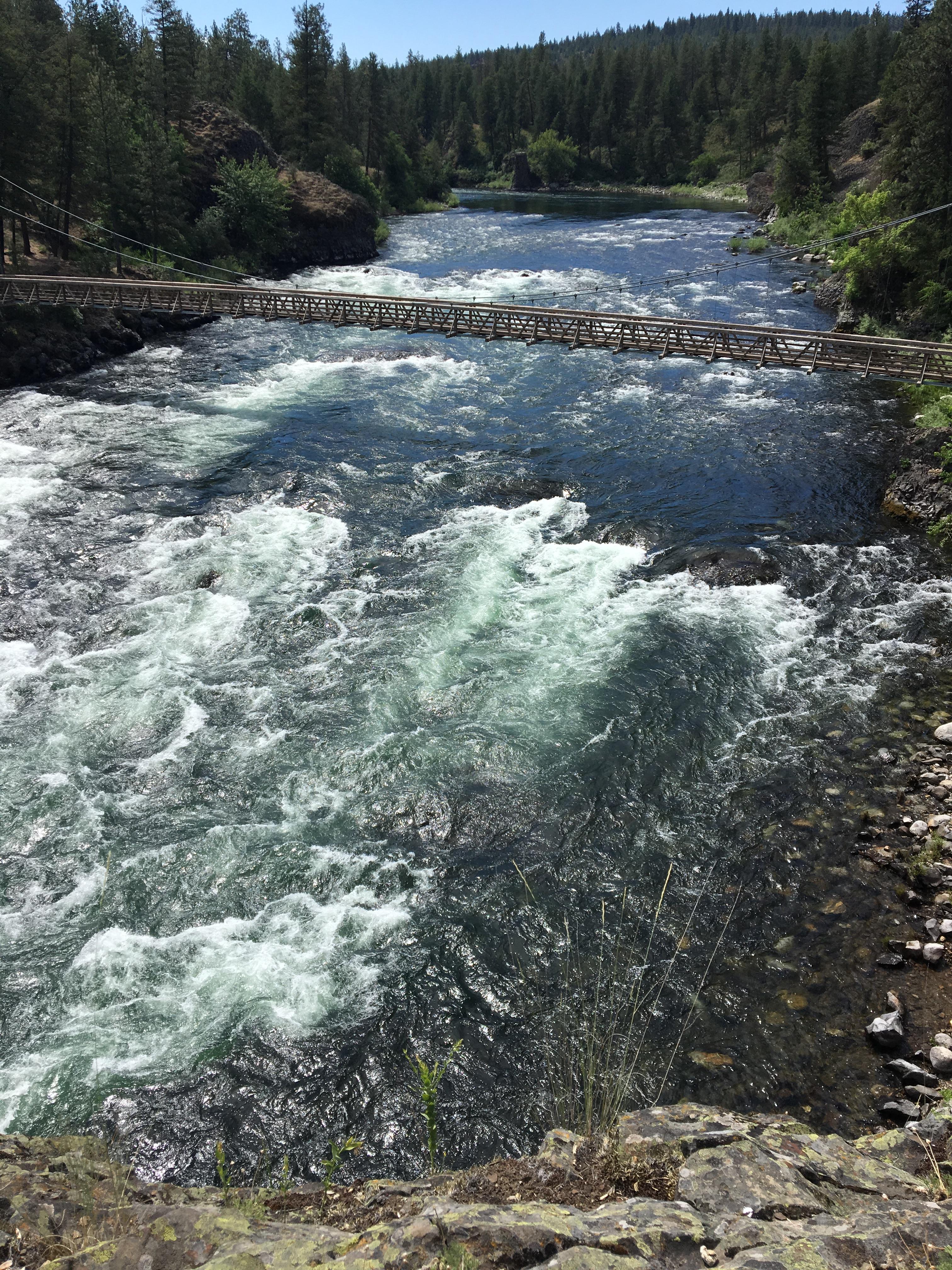
After a 360 mile ride on Monday, it was nice to have Tuesday to explore. I had only driven / ridden through Spokane twice before, but this time I awoke to the morning buzz of downtown on a workday...not for me though! After googling "top area hikes around Spokane" I chose the "Riverside State Park" because it was only 15 minutes away. So I hopped on the CB and was out of the downtown area and into a foresty road about 5-6 minutes later. The area did require a $10 day pass, but I don't mind as long as the park looks well-maintained, and this one was.
78bc7e3eae90cd6e79a2ea9e860c5349.jpg

6e7988362489d85d1596d714fa8029d6.jpg

f380bfd1e955c5e1ecd8e71da73028c3.jpg

135764743cf18c3b5cc92c125f6edee4.jpg


Hiked along the trail downstream and then returned, about 2.5 miles total, not too strenuous. Runners, hikers and bikers...oh, and the trail was lined by Jasmine bushes in full bloom...got to be one of the top 5 pleasing fragrances in the world...along with oleander, orange blossmoms and perhaps my favorite: creosote!

But the Jasmine bushes were everywhere! Very powerful as you hike / run along the trails. Notice the Jasmine flowers in this shot:
c86f595041099a1be0e9e940915c2aeb.jpg

One more...
641a6d66b6d8108add918094a47f4645.jpg
 
Park looks fantastic. And the trip sounds good. Isn't it great to see your children with the strength and the skill to fly solo?
 
I agree with everything Cormanus said.
 
Thread starter
Cormanus_imp said:
Park looks fantastic. And the trip sounds good. Isn't it great to see your children with the strength and the skill to fly solo?
Thanks, Cormanus, it is indeed good to see them take off!

I was finished with the morning hike by noon, and after a Subway lunch and a bit of a rest, it was still only 1:30. I checked popular Spokane hikes again and found the Iller Creek hike in the Dishman Hills Conservation Area, about 25 minutes southeast of Spokane. This map shows both: 1) the Riverside park is the Spokane River and green area NW of the city and 2) the orange indicator SW of Spokane is the Iller Creek area--to the left of the 27.
0c2373806f37f6209943070b29b71e34.jpg


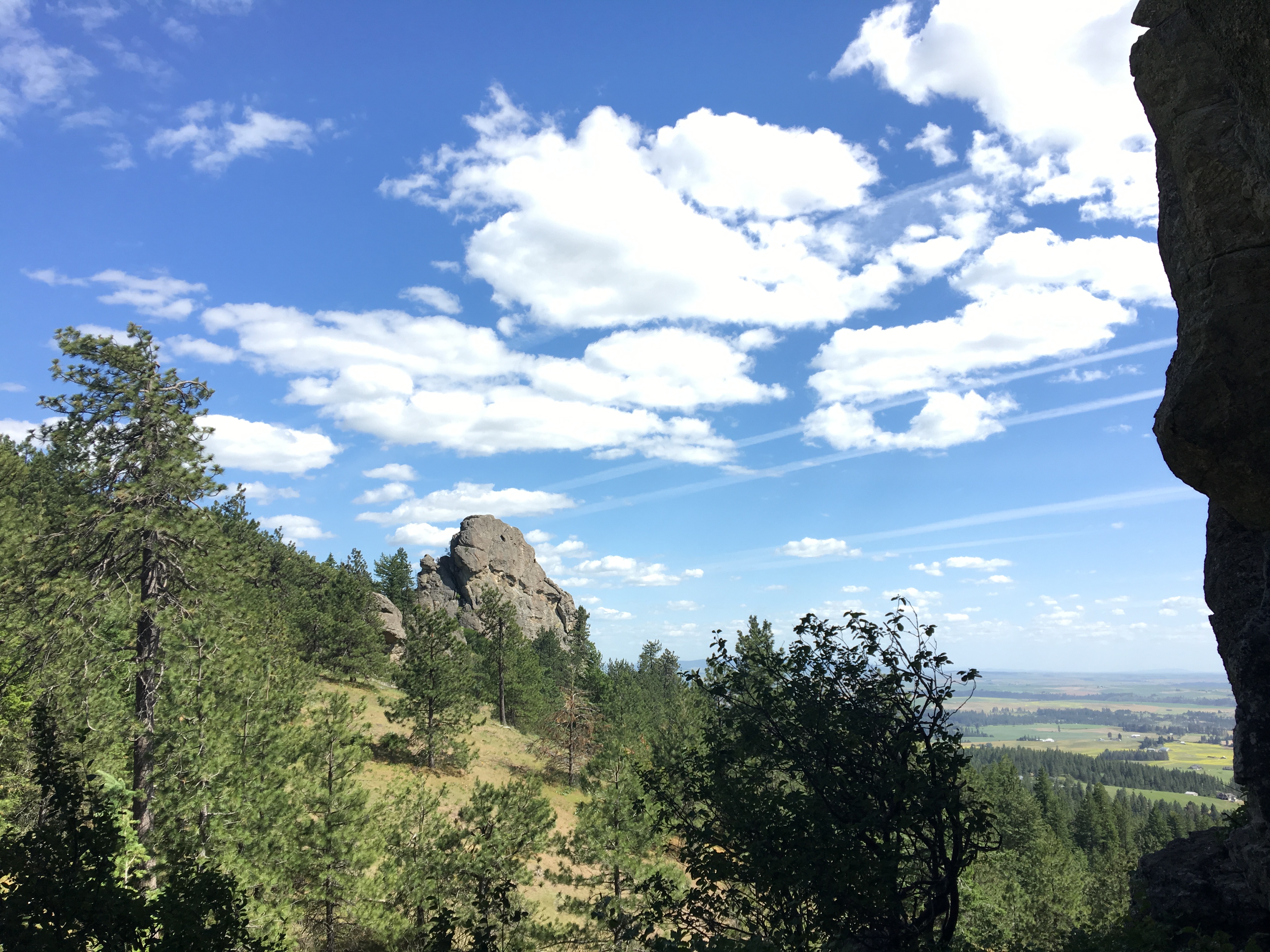
Apparently, there are two access points, and I wanted to get to the "Rocks of Sharon" as they looked impressive from on-line photos. The trailhead said 2.5 miles, and I thought I'd give it a try. Lots of this for the first mile, but not too steep:
6a89c2dc47c0e4193ac995df4b58ede6.jpg


Afterwards, the trail started to climb, but very shady so it wasn't too warm, and the trail follows a small, gurgling stream which was peaceful. Only met two hikers coming down. 1200' climb in elevation allows for some nifty views from the top.
1d5114e32e057f13d0eafd6f057ab4e2.jpg


The Rocks of Sharon
b1c3062c5c2384590252b2811bd57ccc.jpg

0ea6f4c9647907c6b5429a2204f2a88d.jpg

07a369229ced379c4c88d673e1566c41.jpg

0e279e7dd001d6a6199934ab03a92456.jpg


The rocks farthest from me are the ones that are split in one of the previous photos
deb86ef15dcd2d38cfa667c84f9485cc.jpg


From the highest point I reached
594523907a7cdd876ed77045039a1e8c.jpg


I took me 1:45 hours to climb up, but only 45 minutes to hike fast / partially run back. Then my right knee reminded me why I shouldn't run downhill anymore as it started acting up. But made it back to the hotel by 5:30 and my son arrived shortly after. Then HE wanted to see the Riverside park. I had packed an extra helmet, figuring we might ride 2-up and so we went back to the first hike but limited it to a mile as we were both getting hungry. Back to hotel and dinner at one the local restaurants. A nice way to end day 2.
 
Thread starter
Day 3: Wednesday. Google says it takes a little over 5 hours to get from Spokane back home to Gresham, but the plan was to visit the Grand Coulee Dam 1.5 hours west and slightly north of Spokane. The wind had been blowing pretty good the last few days, but as it was a west to east blast, it made for fairly comfortable riding NE to Spokane. I wouldn't be so lucky returning home.

Left a a nice thank you note for my son who is able to sleep till 730 before heading into work. I was on the road west on hiway 2 by 715. Just a mile into the wind and I realized I forgot to put in my ear plugs. Felt a morning chill but was riding with shorts and t-shirt under my mc pants and coat.
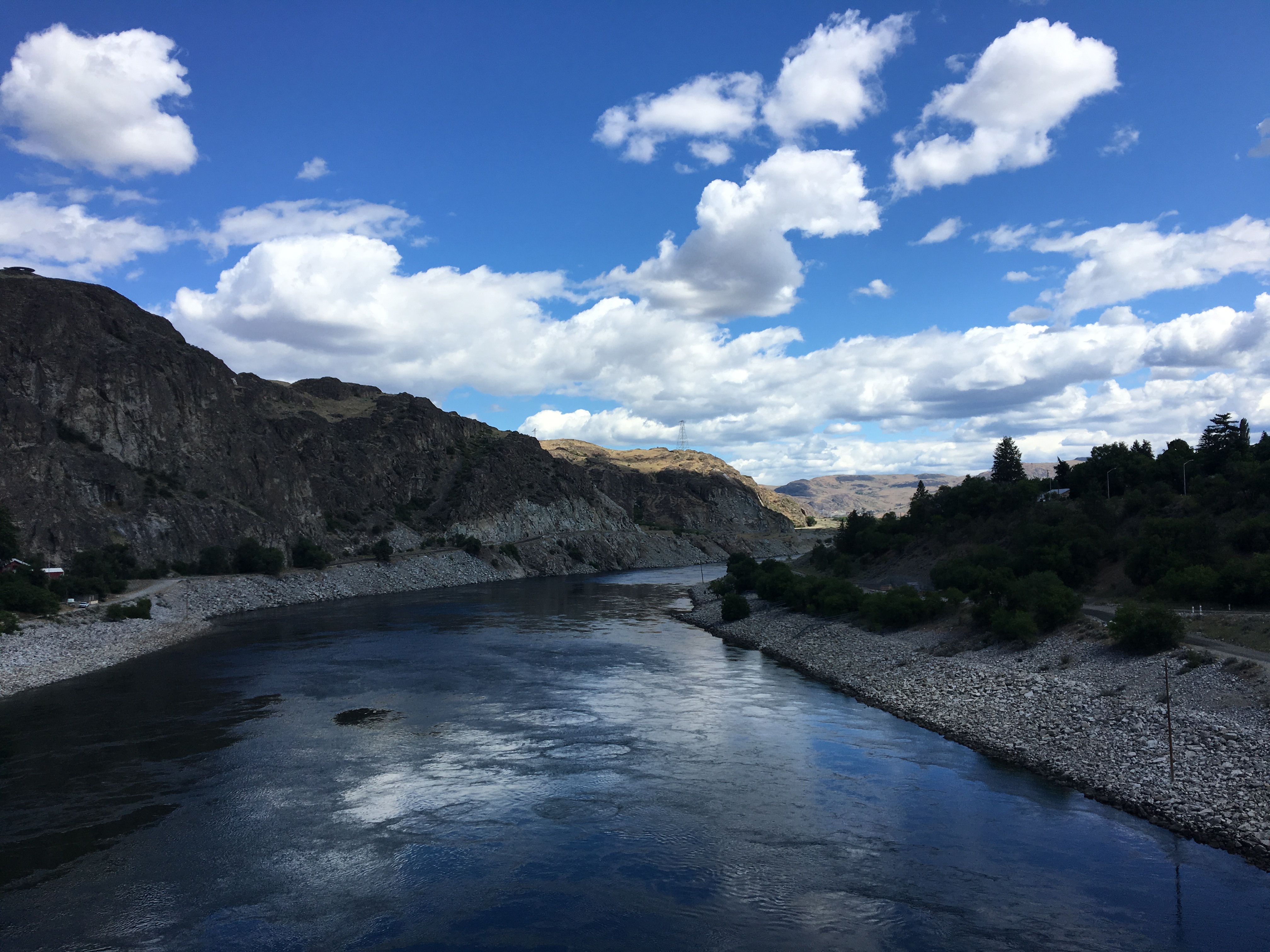
Somewhere before Reardan on hiway 2...
3f411e757ed3d01c764aefc680c1ccba.jpg


Wind blasts would keep me from wanting to go more than the posted 60mph. Gripping the handlebars tight, had to remind myself to let loose from time to time. Started to feel the cold so at Wilbur it was time to put the heavy gloves on and add a long sleeve shirt--was expecting it to get warmer with a full sun, but while the outside temperature did rise some, mine did not. Noticed that my average mpg of 50-51 to Spokane was dropping to about 45 into the wind. I always feel a bit nervous when I get to 70 plus miles after filling. You ride by a gas station thinking you'll fill at the next one, and then you realize the next one might be 40-50 miles away, and then you start wondering if you're still getting decent gas mileage. Then I start crouching down low to improve my chances...then I realize I'm being an idiot.

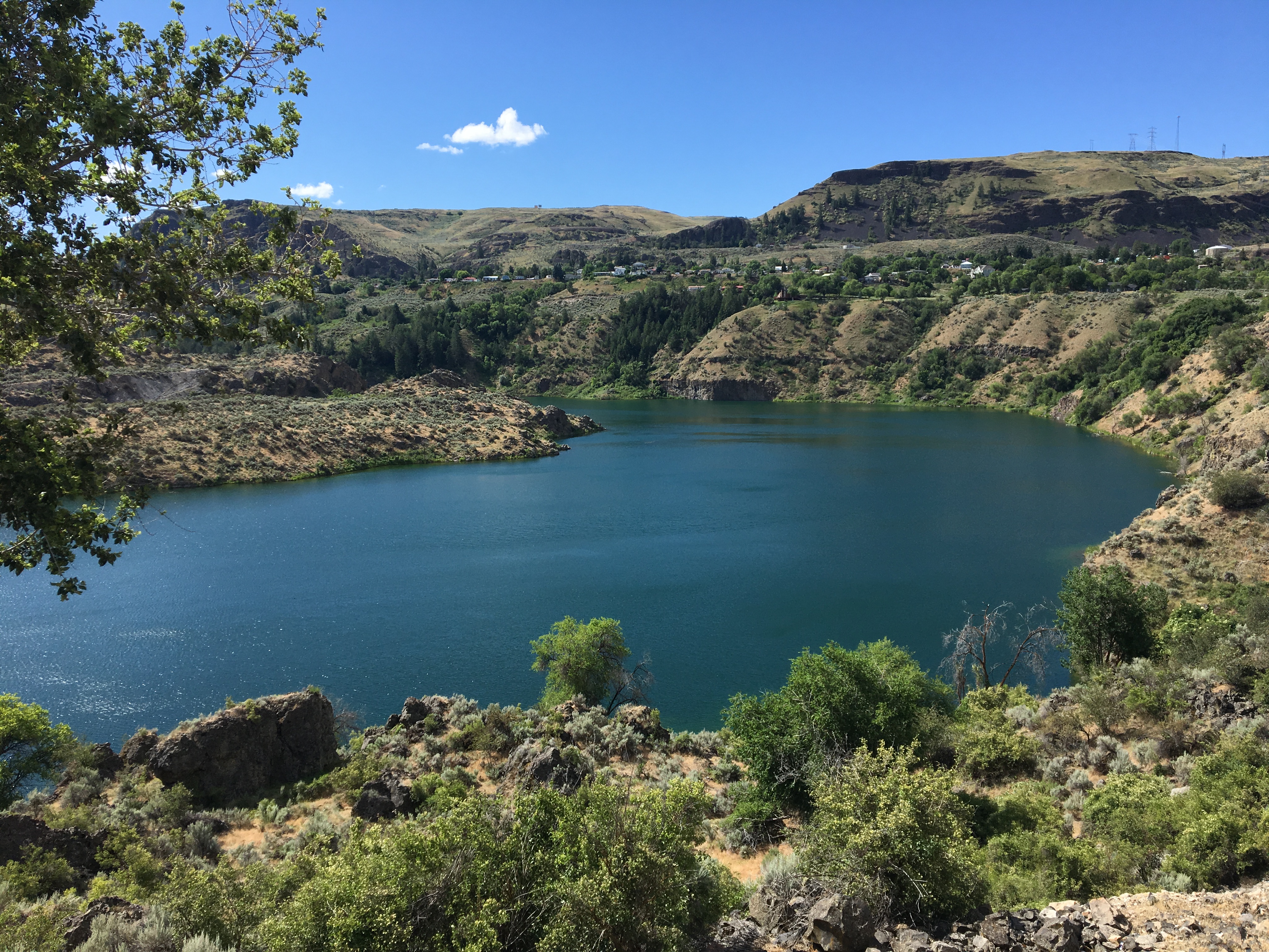
After Wilber, took hiway 174 NW to the Coulee area. My first sighting of the Columbia backed up by the dam.
083df9f0916f59013af0bf8ecd2eb18b.jpg


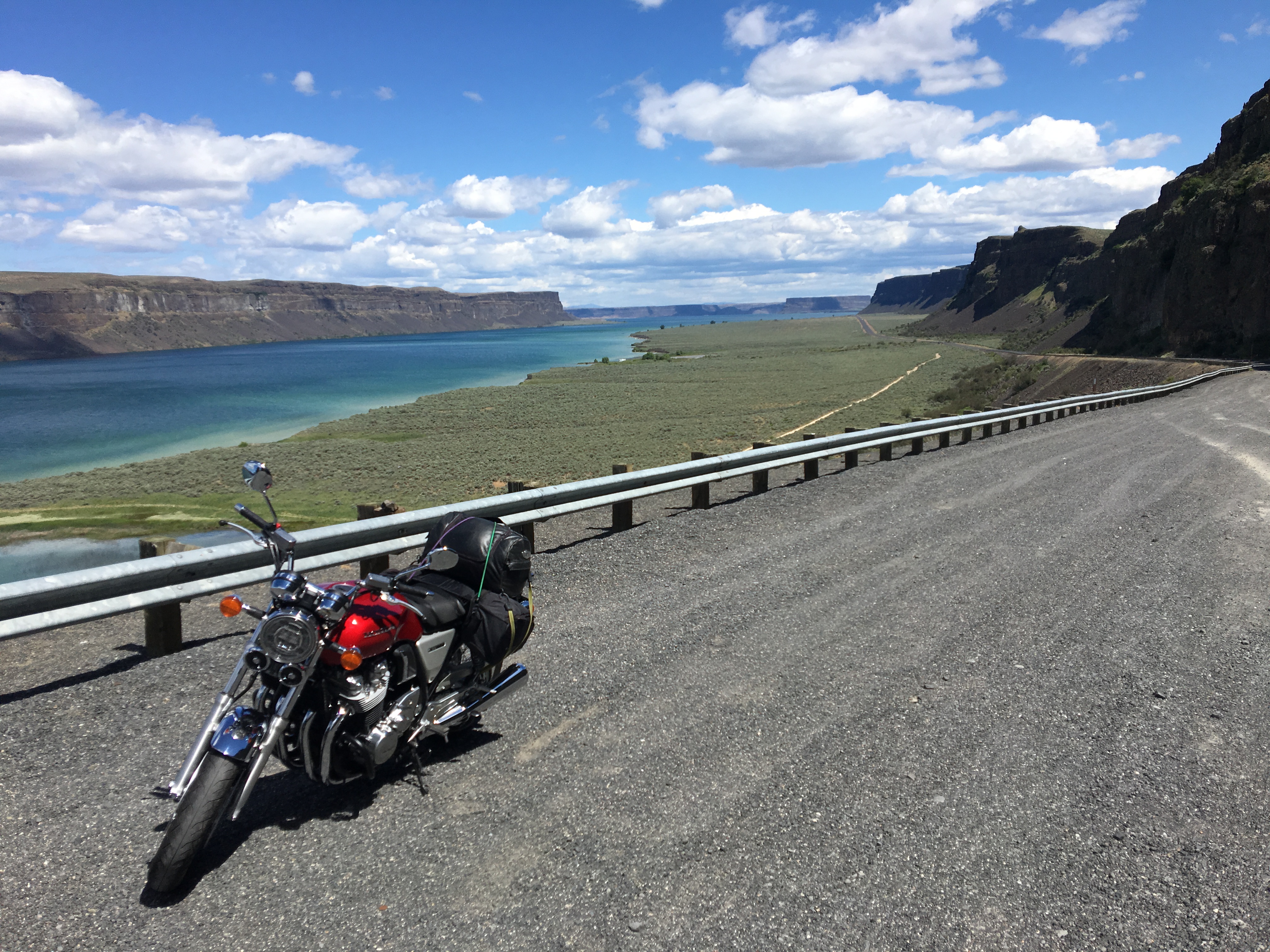
I hope nobody minds lots of pics of my cb1100 exploring this area...
89190ceb09a1b1ded6bdb4a47ffc6bf5.jpg


Part of the reservoir right before one gets to the dam proper
f610bda8d06d8ba4c5e5faeb2bc334f0.jpg


What the dam holds back...lots of water!
0fab6df1df64d763b2c8863434b51d85.jpg

1acb23ea9f8a9373ae4e53a3a7ab9298.jpg


I didn't know that the Columbia river has 14 dams, 3 in Canada and the rest in the States. The Grand Coulee is the largest: 550' in height and just shy of a mile in length.

Construction on the Grand Coulee Dam started in 1933 and was completed in '41.
be8354dd3e3908c92ebfa78f3e138c4a.jpg


292db9a9ed42c4d412beab1fff4f7231.jpg

ca7c9db99e32748eda14ee6de7eea245.jpg


More to follow...
 
Thread starter
The ferret_imp said:
Great pics pdedse
Thanks! I enjoy getting to a place where they are worth taking...

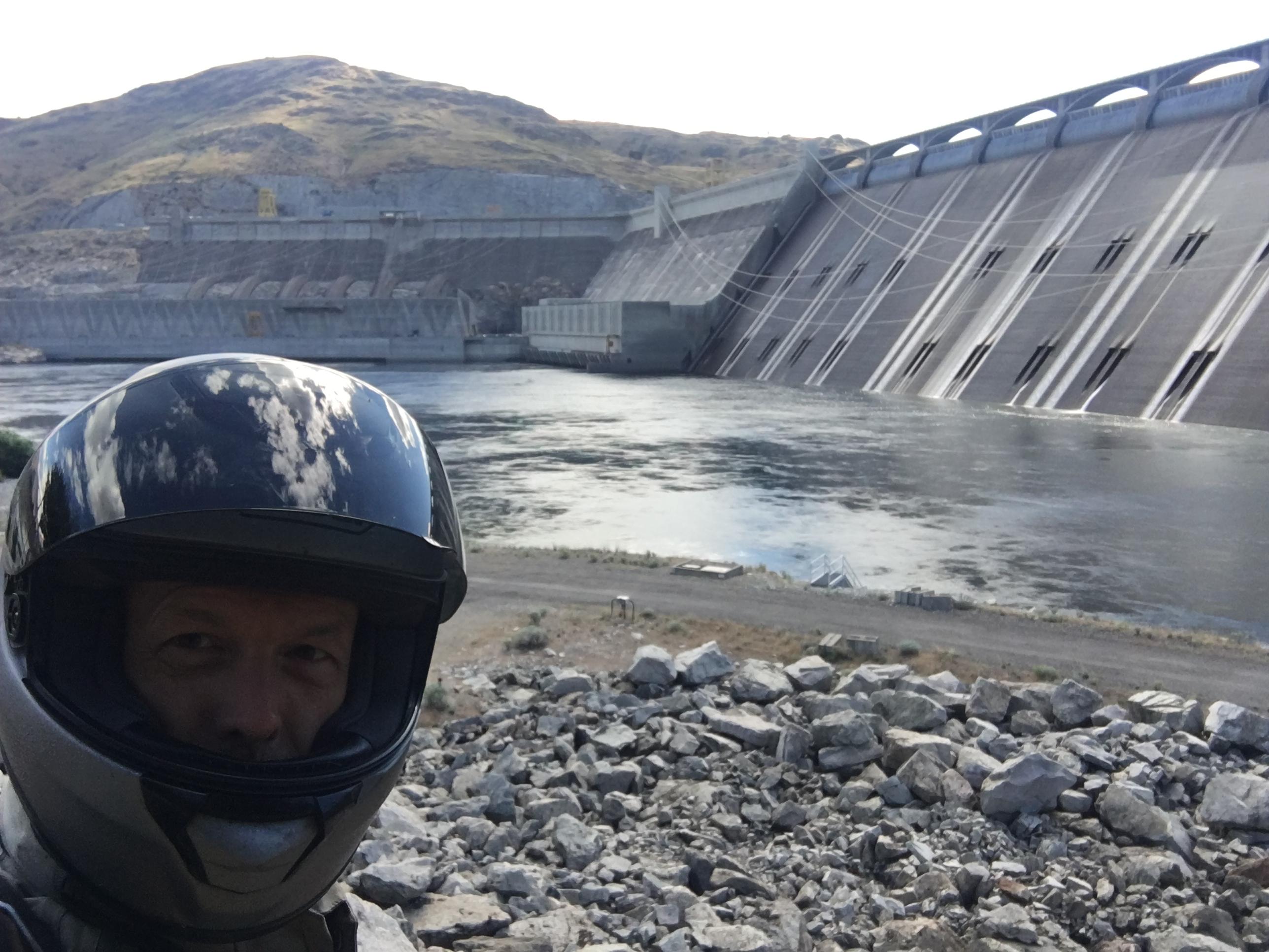
Must have pulled the helmet off and put back on about a dozen times while at the dam, putting on reading glasses to see better, take a break, drink some water, eat, etc...
6545279cfd427992989b23c4d4e18b8c.jpg


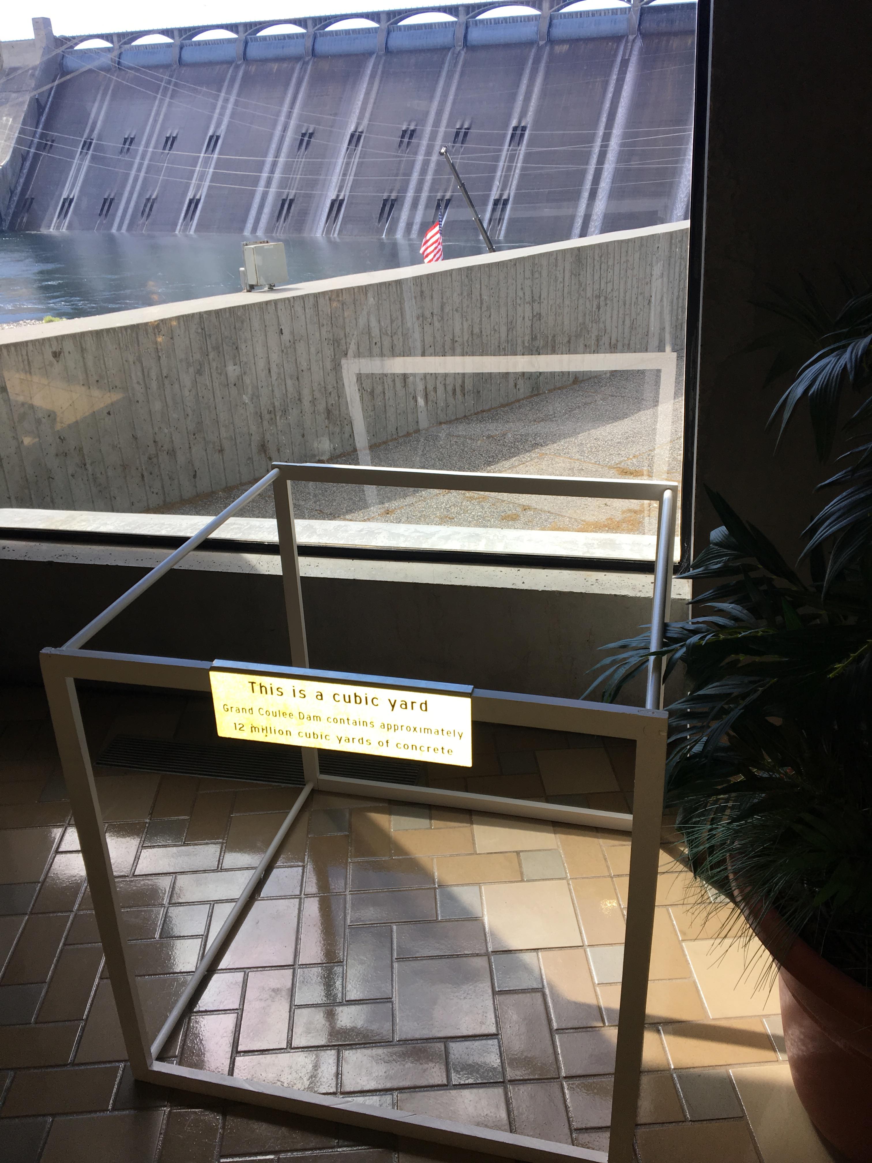
I just missed the 10am tour of the dam, and the 12noon and 2pm tours were cancelled, and they wanted one to know that the cancellations were a result in lack of funding. The next tour wasn't until 3pm, but I didn't feel like waiting around. At least the visitor's center had the basics of construction.
0715c6e4e578eeb0616f895510f6bcdc.jpg


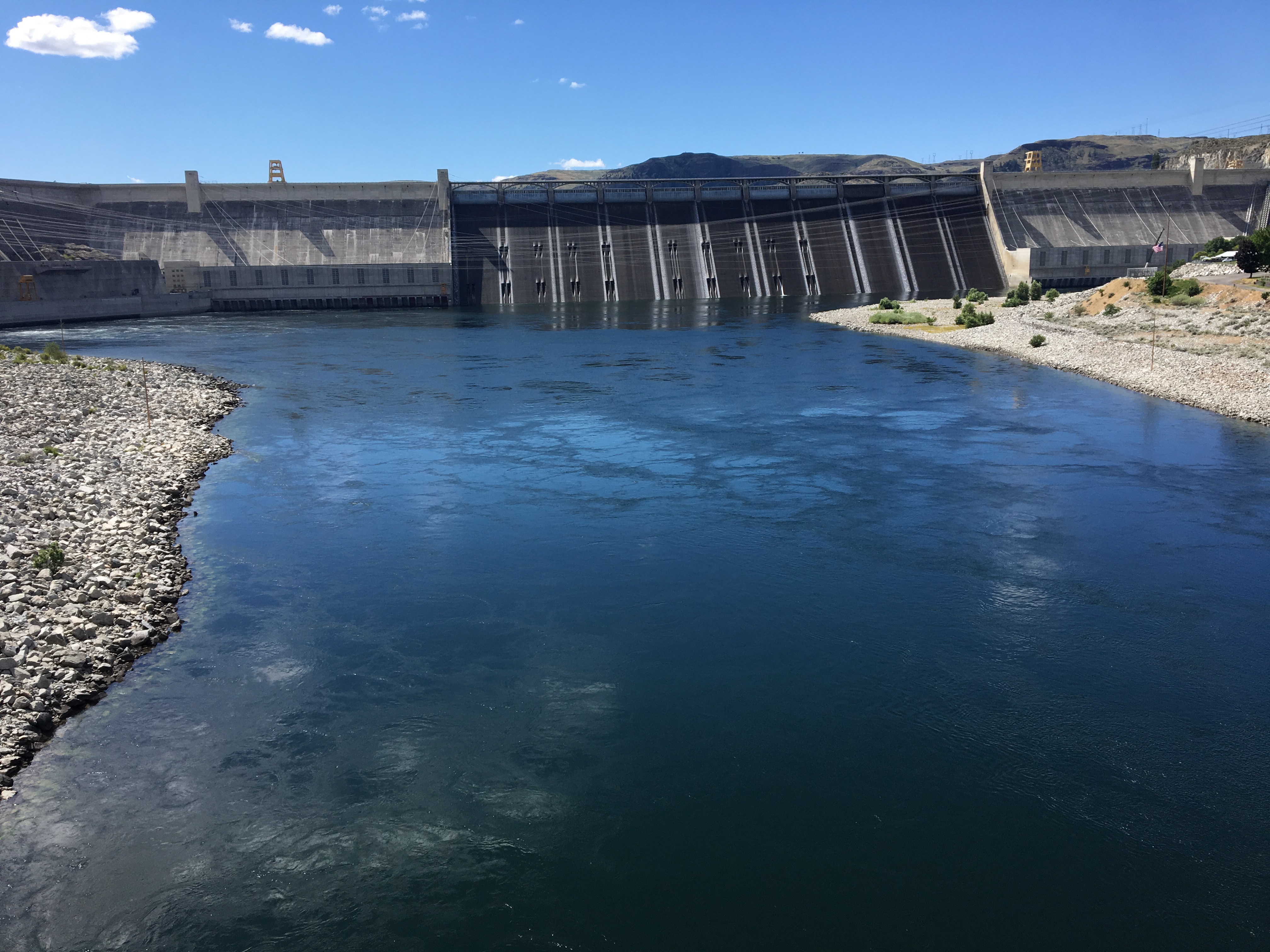
You can't drive across the dam, so the bridge below gets one to the other side:
e962e501adf045955de9c4f870fe7091.jpg

cdfe08225be3de291b35c87bfdd6b37e.jpg

151c7906711fdace071d612fe2a34670.jpg


Downriver, after the dam:
38c64381af9648130665674514dfd1b1.jpg


Took the time to cross the bridge walking and every 10 meters there were photos of different periods of construction. No surrounding town existed before the dam was built.
f84ac98100e26afbf29731aa4c25d9eb.jpg


Looking down river from bridge:
4725d8110f3890023c32032c453dda83.jpg


By 11:30 I had seen all I wanted to see and it was time to continue south on hiway 155 towards Coulee City.
e612646d818d9dde8b1272041bd83f1a.jpg


The forecast called for rain in the Gresham area for today Thursday, so I thought since I still had the greater part of the day, that I might make it home OK. Still, lots of beautiful riding ahead of me.
 
More great photos, pdedse. Enjoying the tour too.
 
Excellent write up. Full marks.


Heard a lot about the Grand Coulee dam as a kid, have never seen it.
 
Thread starter
GoldOxide_imp said:
Fun pics, and another fine mug shot. :)
Hey! You lightened me up!! I was trying to remain anonymous:cool:
It was around 12:30 when I rolled into Coulee City. Stopped at gas station, but card didn't work...counter person inside was busy with coffee grinder...time to move on. Looked for a place to eat...nothing look right...time to move on again. I dont know why, sometimes I just get impatient. Maybe it has to deal with the freedom of traveling on a motorcycle, wind in your hair type of thing, you don't want to slow down, then you stop and are hit with a bit of reality and you just want to get back on and ride.

And here are the reasons why!...from the Banks Lake area just north of Coulee City:
2d49e703dc4ea580bff981557d9d7c54.jpg

754cab83224cd20398d57a586521f33e.jpg

933bba449f2f67fe658c75edb9c9f1f5.jpg

Kind of Baja-esque:
2cc5318a38fb057e78da10324a741fae.jpg
 
Beautiful country, pdedse. I know what you mean about getting impatient.
 
Yes! Impatience with just waiting around when you're mid-ride...! I know what you mean!! :D

Great pics - REALLY make me want to ride in the US again. :)
 
Thread starter
Glad folks seem to enjoy the pictures...it really is a beautiful area. Several more photos coming before finishing up with this three day trip.

Coulee...it just occurred to me that I had no idea what the word means. I was thinking someone's last name? So I looked it up, and of course now I get it--it's geologically related:

Per Wikipedia: >Coulee, or coulée (/ˈkuːleɪ/ or /ˈkuːliː/) is a term applied rather loosely to different landforms, all of which refer to a kind of valley or drainage zone. The word coulee comes from the Canadian French coulée, from the French word couler meaning "to flow".<

"drainage zone"...kind of a low key phrase to describe the mighty Columbia River, but "coulee"...and "Grand Coulee"...that sounds a bit more impressive.

CLICK HERE for a nice little 2 minute youtube video of coulee specifics.

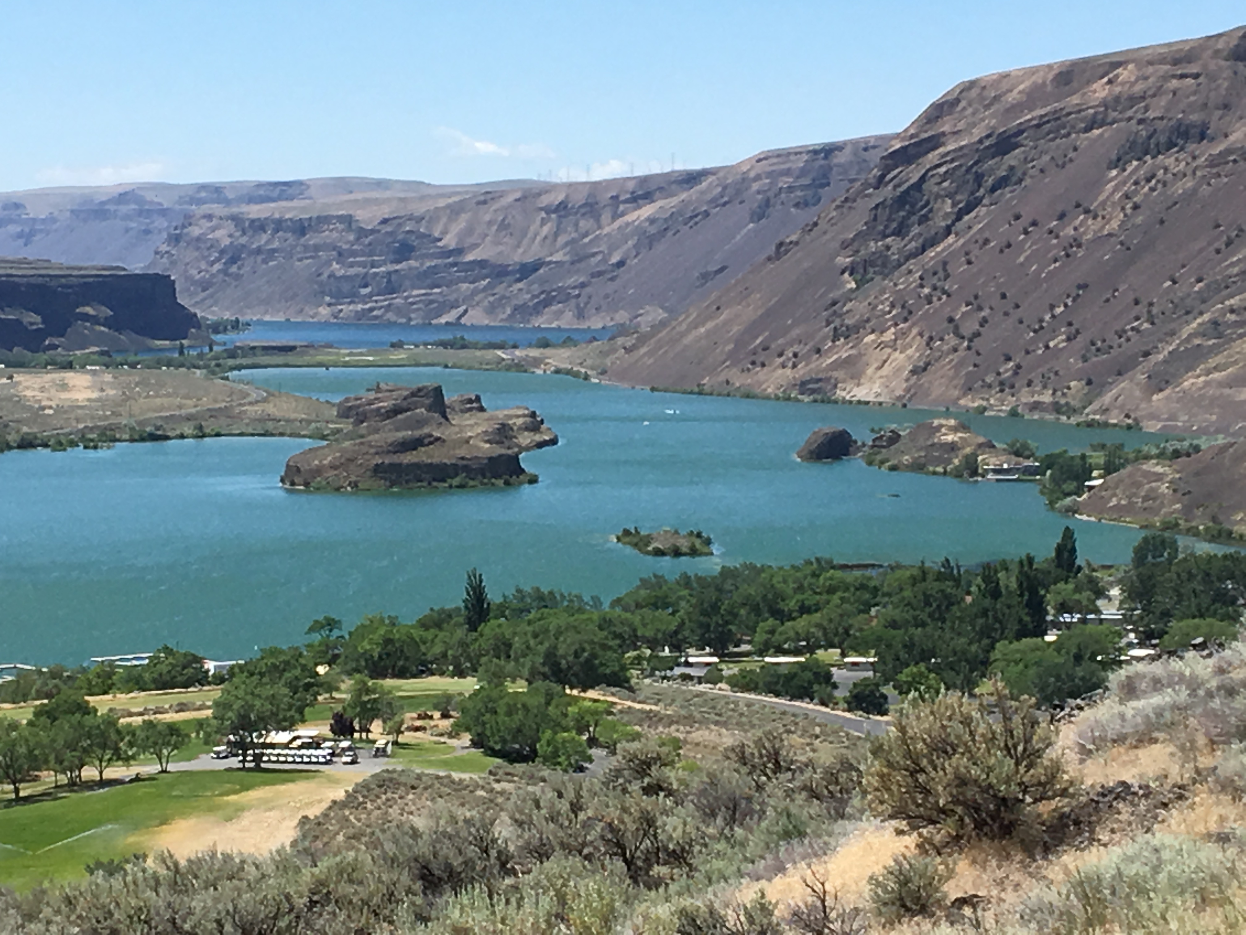
Right after Coulee City one crosses an earthen dam that makes up the south shore of Banks Lake. I turned south on 17 and thanks to some truck and motor-home traffic, decided to stop at an overlook. Glad I did for the views were impressive at Sun Lakes--Dry Falls State Park.

A total surprise view for me as it's not viewable right from the hiway while traveling north to south nor from the earthen dam I had just crossed. A panoramic view:


The winds were still blowing pretty strong. A lot has been discussed about the portly weight of the CB1100--that overall it's too much, that it's only an issue moving the bike around, etc. Between my '14 CB1100 Standard and the '17ex, I purchased a Triumph Street Twin (traded in the standard for it), but only kept the Triumph a few months. One of the main reasons for selling the Twin and going back to the CB1100 was that on the hiways, the Twin got tossed around quite a bit by head and crosswinds.

It was one of those cases when perhaps you read too much online--that is, lighter the bike, the better handling this and that. But I wanted my "other" bike (I also have a KLR650) to be a road travel bike, and the Twin simply wasn't going to be that bike for me. After I purchased the '17ex and got reminded of the winds on I-84 in the Columbia Gorge, I thanked every one of the 550 odd pounds the CB carries. So stable feeling.

On this trip, trucks traveling in the opposite direction would zoom by me bringing an extra blast of wind and...nada...the CB would barely budge. I think the Twin would have ended up on the shoulder a few times this trip had I kept that bike.

Between Coulee City and Soap Lake:


By 1:30 made it to Soap Lake and now it was time for lunch. Found a bar/restaurant with 3 groups of local-looking folks whose conversation marked their familiarity with the area.


Exiting Soap Lake I had to decide between taking the more direct route and stay on hiway 17 towards Moses Lake or to meander a bit and take 28/283 SW towards no real sizeable town, but a route that would keep me close to the Columbia, so I took the latter.

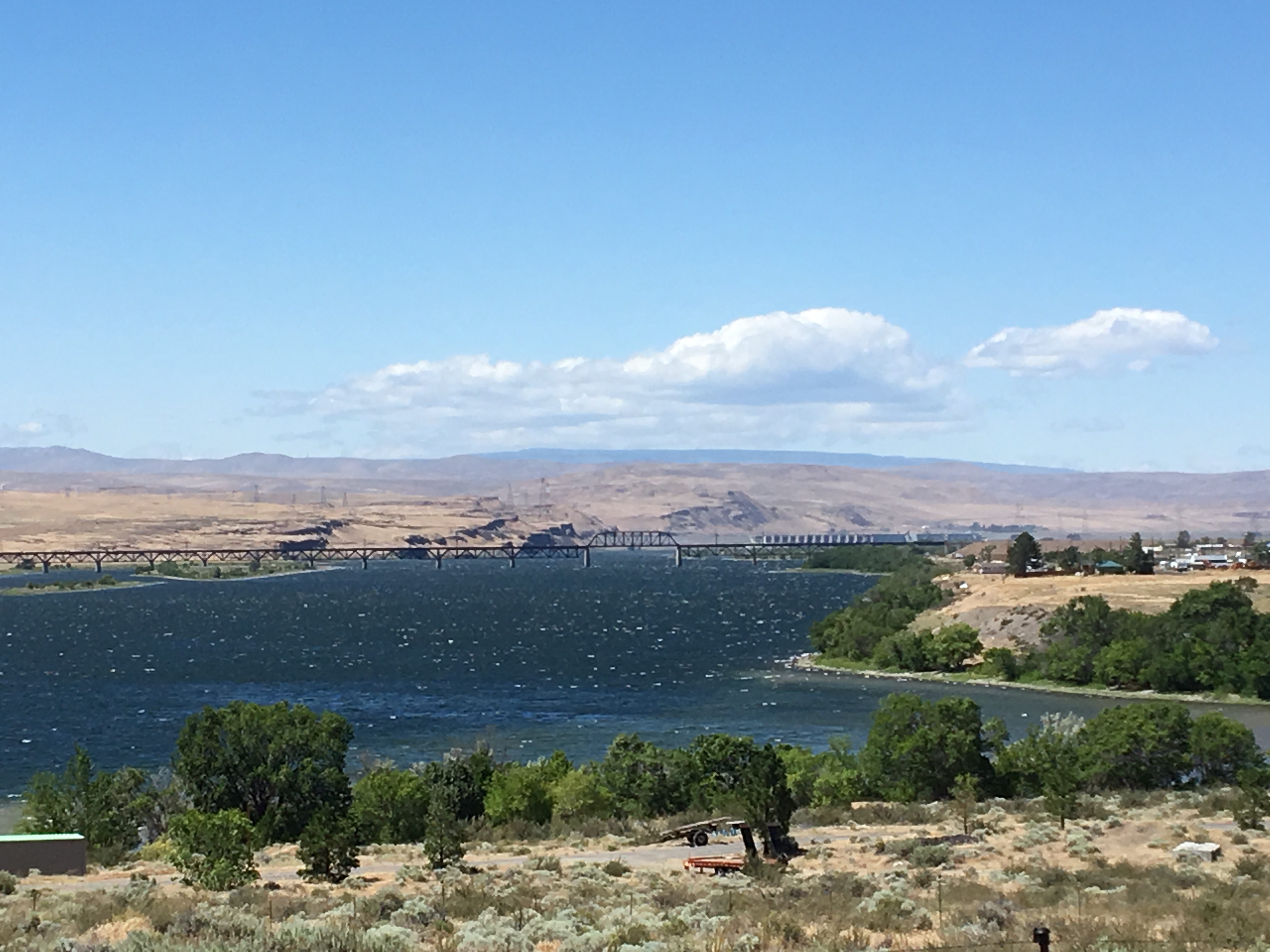
283 connects with interstate 90, and that will take you to Ellensburg if you cross this bridge across the "Wanapum Lake" which is still the Columbia. STRONG winds! made for sizeable swells out there on the water.
 
In 2000 and 2002 I had two fantastic three week motorcycling holidays, touring the States - one, the Pacific Coast Highway up to SF, Tahoe, Grand Canyon (plus everything in between) and back to LA; then in 2002, Denver up to Canada and back via THE most beautiful roads and country in the Rockies.

As I look at the wonderful pics you guys post, my holidays come flooding back to me - I get so much pleasure remembering the Tetons, Redwoods, Rockies, plains, deserts, passes (loved the Bear Tooth for instance!).

So please keep posting those wonderful photos. :)
 
Thread starter
Bazbro_imp said:
In 2000 and 2002 I had two fantastic three week motorcycling holidays, touring the States - one, the Pacific Coast Highway up to SF, Tahoe, Grand Canyon (plus everything in between) and back to LA; then in 2002, Denver up to Canada and back via THE most beautiful roads and country in the Rockies.

As I look at the wonderful pics you guys post, my holidays come flooding back to me - I get so much pleasure remembering the Tetons, Redwoods, Rockies, plains, deserts, passes (loved the Bear Tooth for instance!).

So please keep posting those wonderful photos. :)
So glad the photos bring back pleasant memories for you:beerchug:

A bit farther downstream and I ran into some one-lane only construction area (long wait for some, but I was lucky in that I had only to wait 5 minutes. Hopped off the bike to stretch and take a quick photo of train-bridge:
14969dfa3bc85853b8a05c0aa0c6572f.jpg


Lots of Washington apple orchards--huge ones--in this agricultural area. Hiway 243 had now veered back east along the Columbia and I was momentarily heading with the wind...wow, what a difference! Everything got quiet and the tension of holding the bars eased and I was able to relax a bit.

But...time to cross the Columbia once again:
888404ec2009616b7b5de3a71b75ce05.jpg

...and take 24 south which then bends back west again to 241 south to Sunnyside, continue south to 22 which I took west to Toppenish. About 5pm now and time to finish the trip home. There's nothing in the way of services between Toppenish and Goldendale so before crossing the Yakima Reservation I stopped at Subway--my "go-to sandwich shop" when mc travelling. So easy, 5 minutes and dinner! Ate 1/2 the footlong to stave off the hunger till I got back to the Columbia where I would be closer to home and knew of some beautiful overlooks.

A few miles after Toppenish on 97...I think the great man-made works like skyscrapers, hiways, canals, dams, cb1100s, pyramids, are all impressive in their own right. But then I think of powerlines...they don't get enough credit for what they do. And whoever hung these put in a ton of time and energy to string them across the open expanses out here. Quite impressive as well...
becd774ae1ec5b79ea1279f7284b5246.jpg

1e531b4c9b5bc96eb4811896c0ec0075.jpg


I was curious and looked it up...click here for wire stringing...[url=https://www.youtube.com/watch?v=r75QjSghMH4]or click here for video

Made it through Goldendale with no deer sightings which always has me thinking out here, particularly late in the day. After Goldendale, 97 starts its march downhill back to once again...the mighty Columbia...first, more structures that tap into a different energy source:


Cattle grazing under the hum of the windmills


Time to head home before it gets dark...
Rocky_imp said:
Thanks, Rocky...the trip was relatively short, but very enjoyable.
 
Back
Top