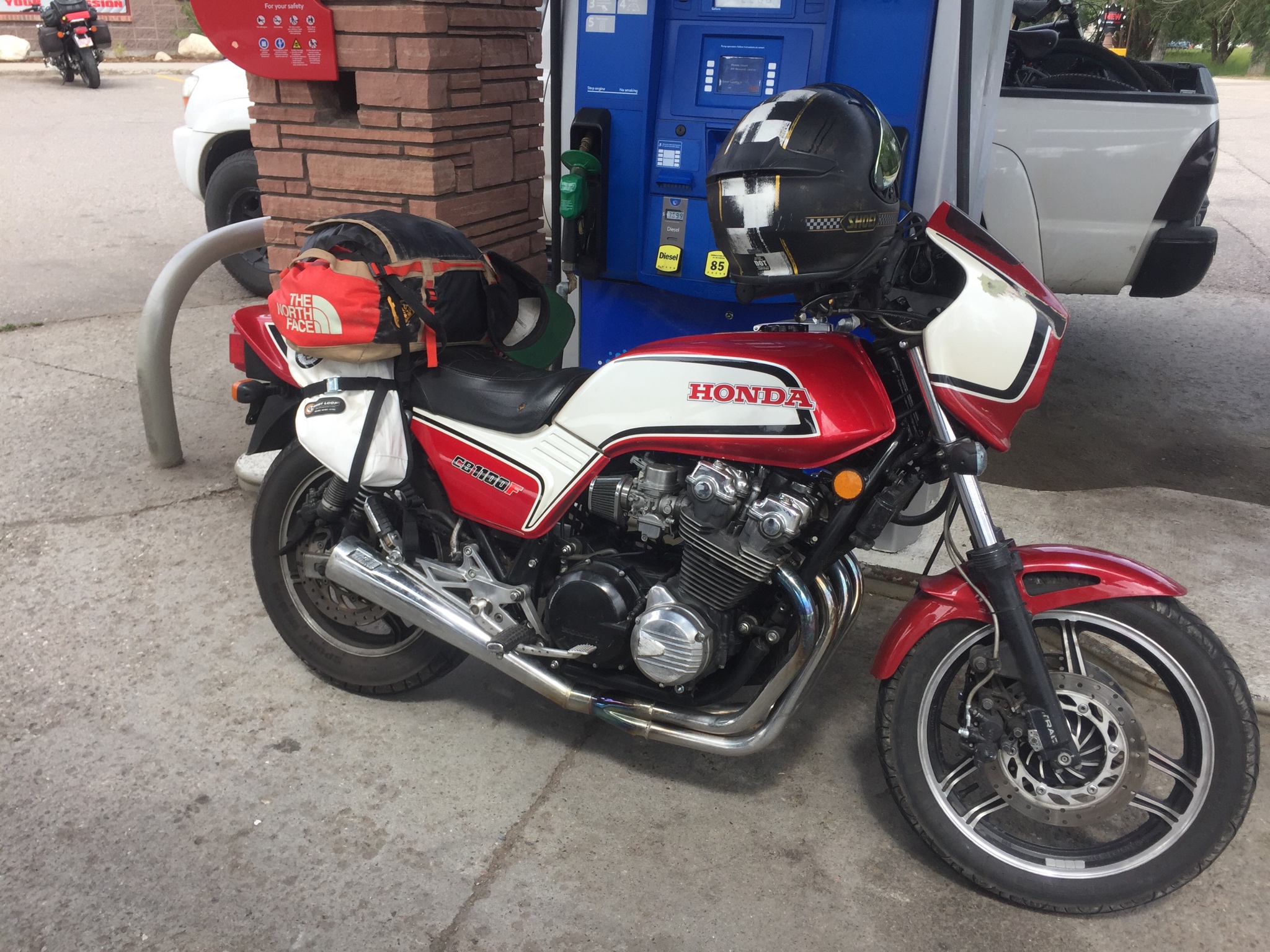
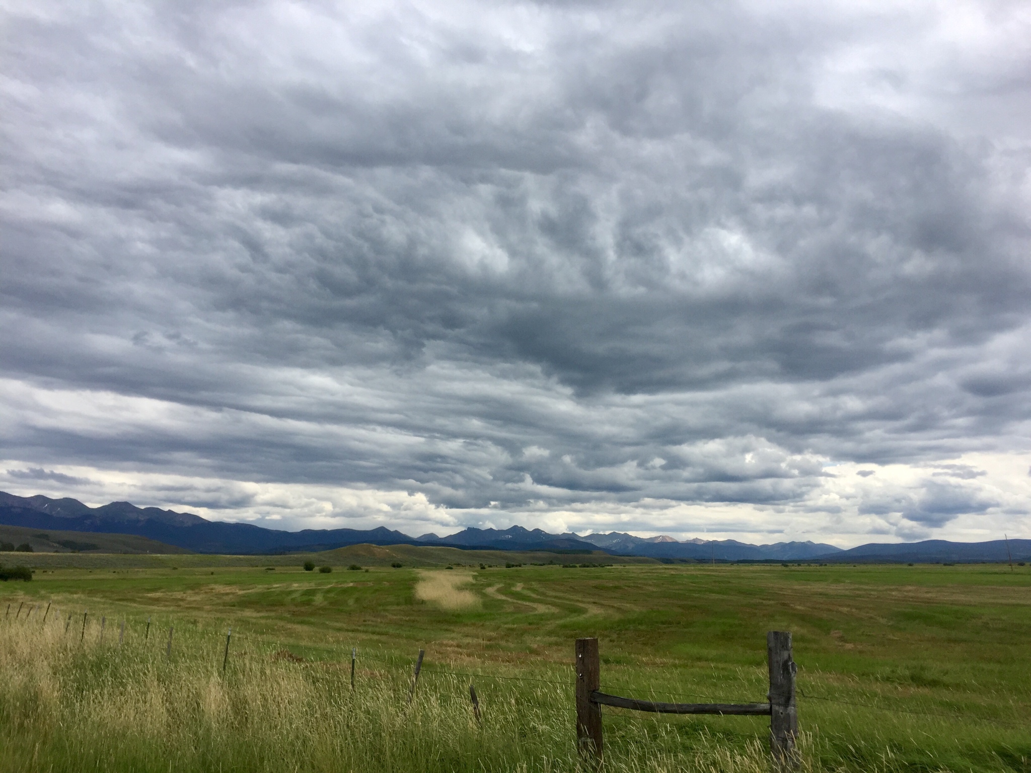
Turd on the Run

Well worth the wait. Thanks, Daniel.
 
Thread starter
Thank you everyone. Will post some more tomorrow. Little chunks at a time, haha. Looking back it really was a whole lot of trip in just 4 weeks.
And to be fair, this won’t be a day by day RR. It’ll get distilled here and there when there was very necessary and appreciated down time during the trip.
 
Thread starter
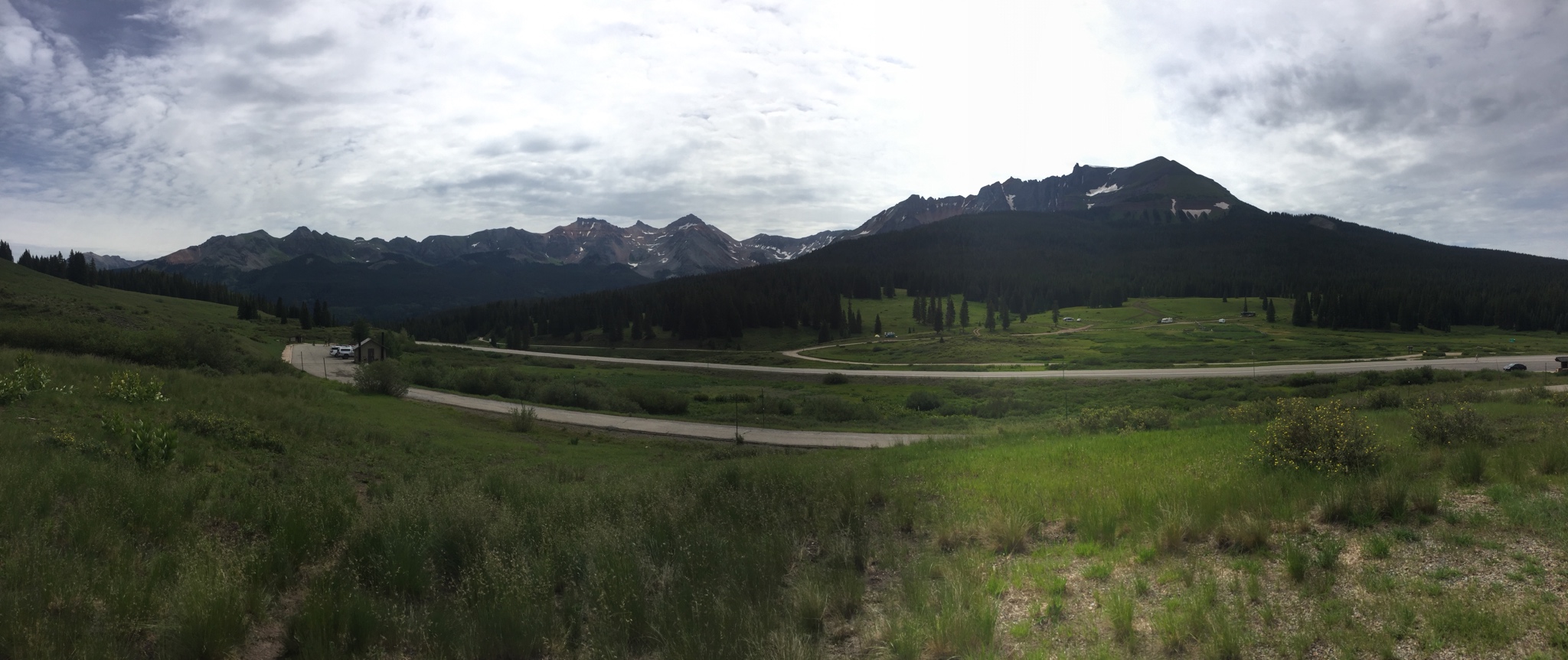
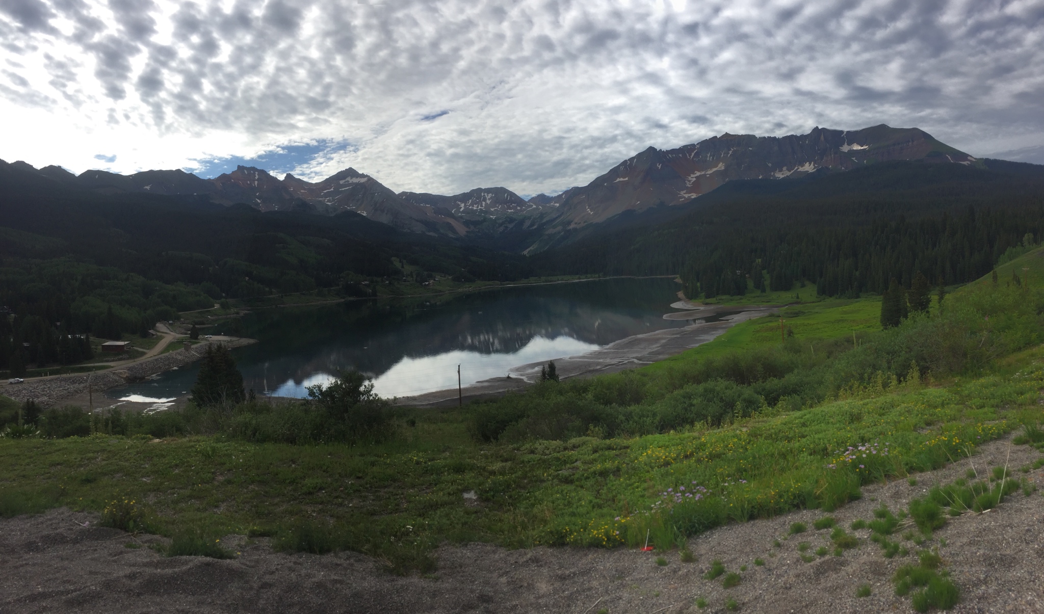
Woke up the next morning and ran Highway 145 down and back, AKA Lizard Head Pass.

cb5a4cd29f5c8149899a873a4954557b.jpg


6e02102f0cbcc13da54425e62c7a9741.jpg


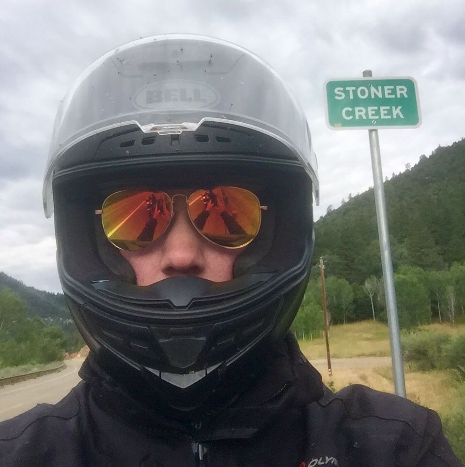
Stopped in Stoner, CO for an obligatory selfie.

559410b8d96cf114ae70933eea4765b4.jpg


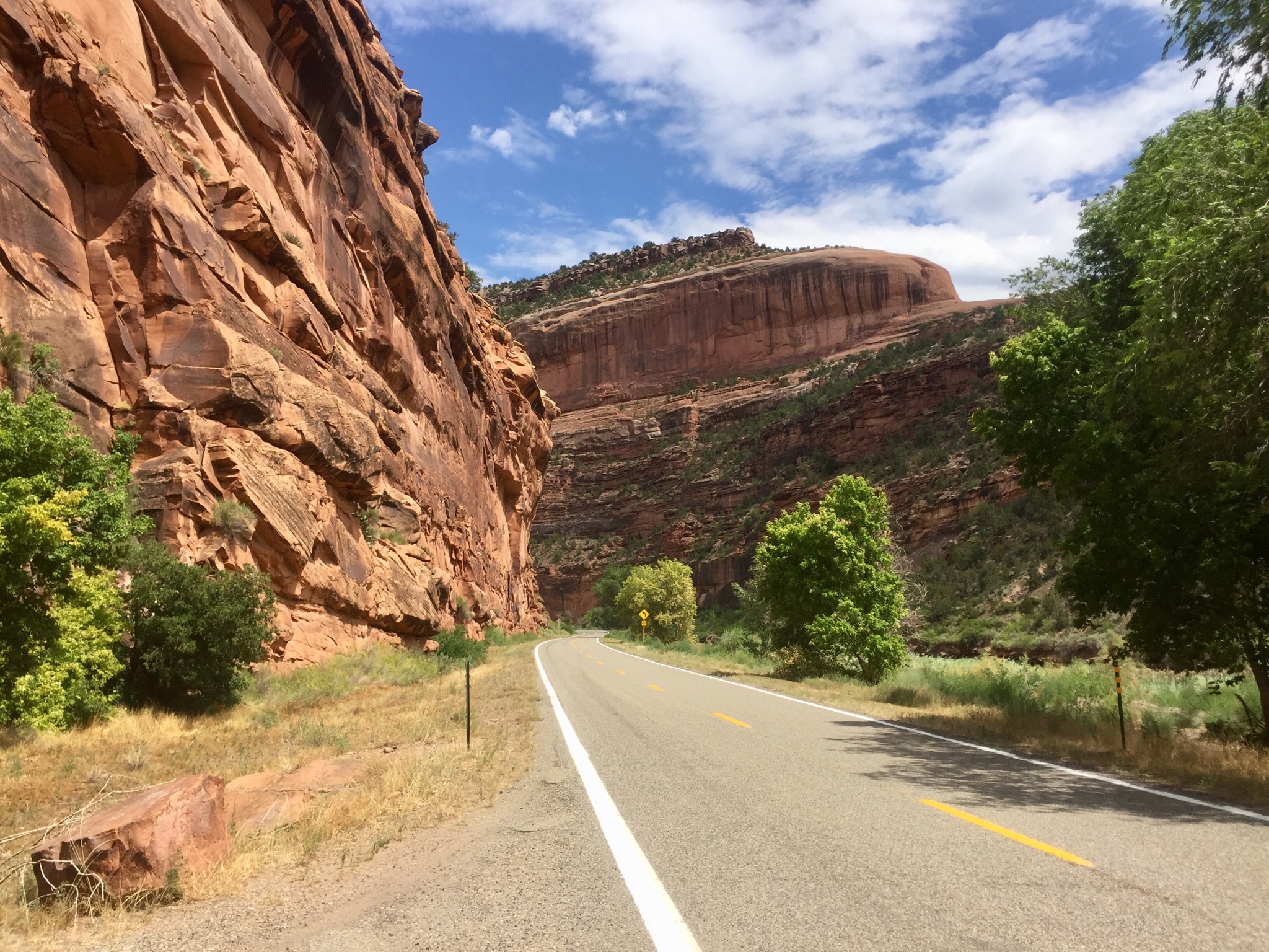
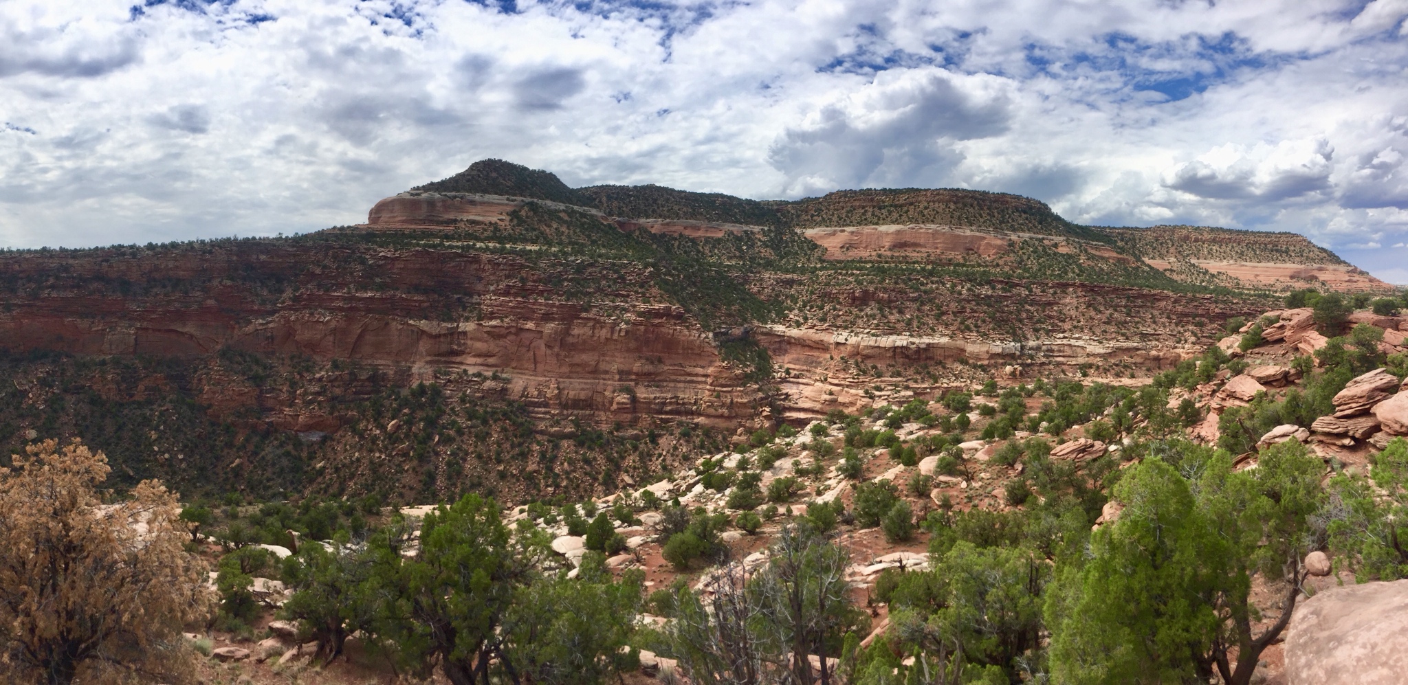
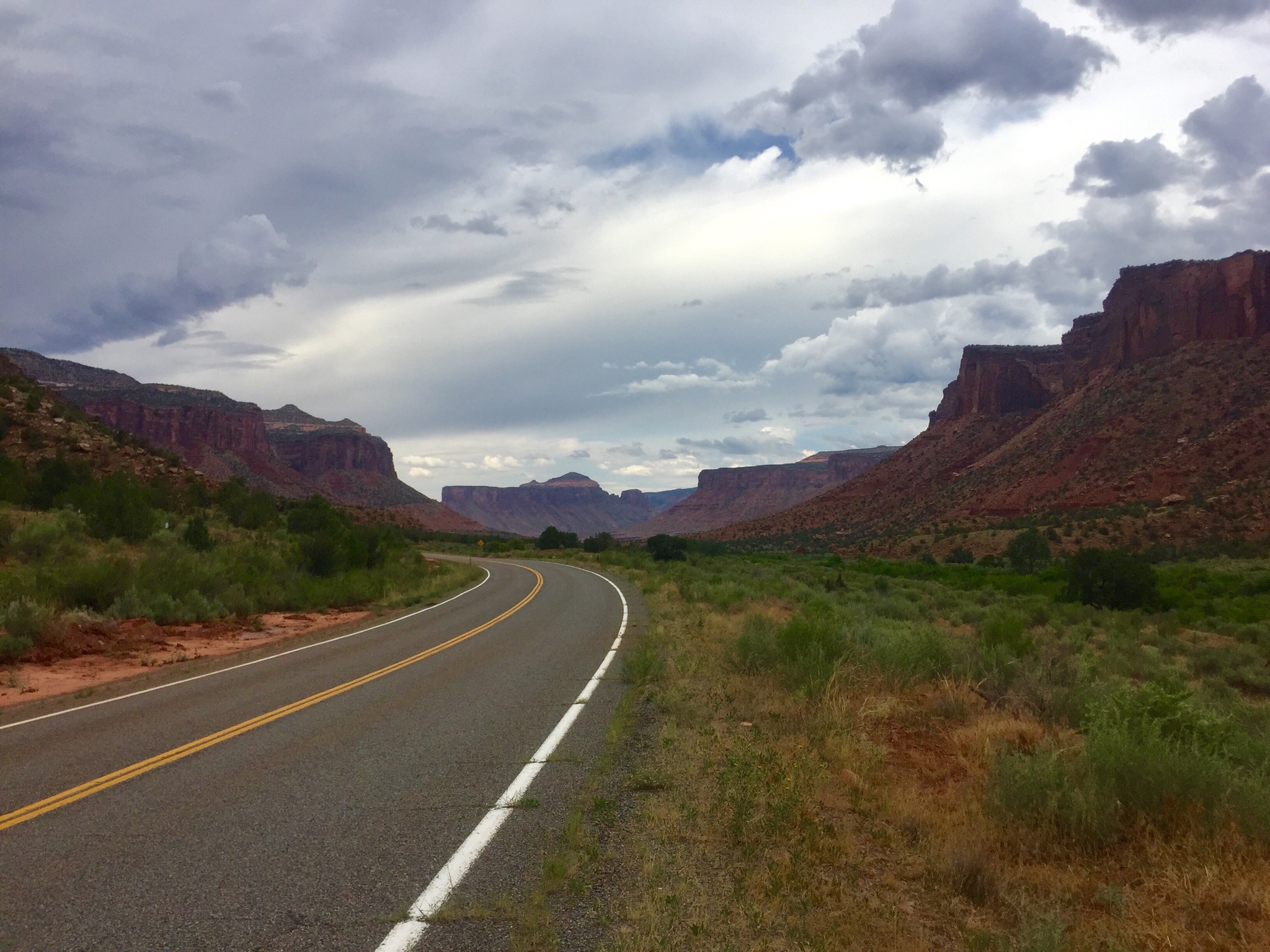
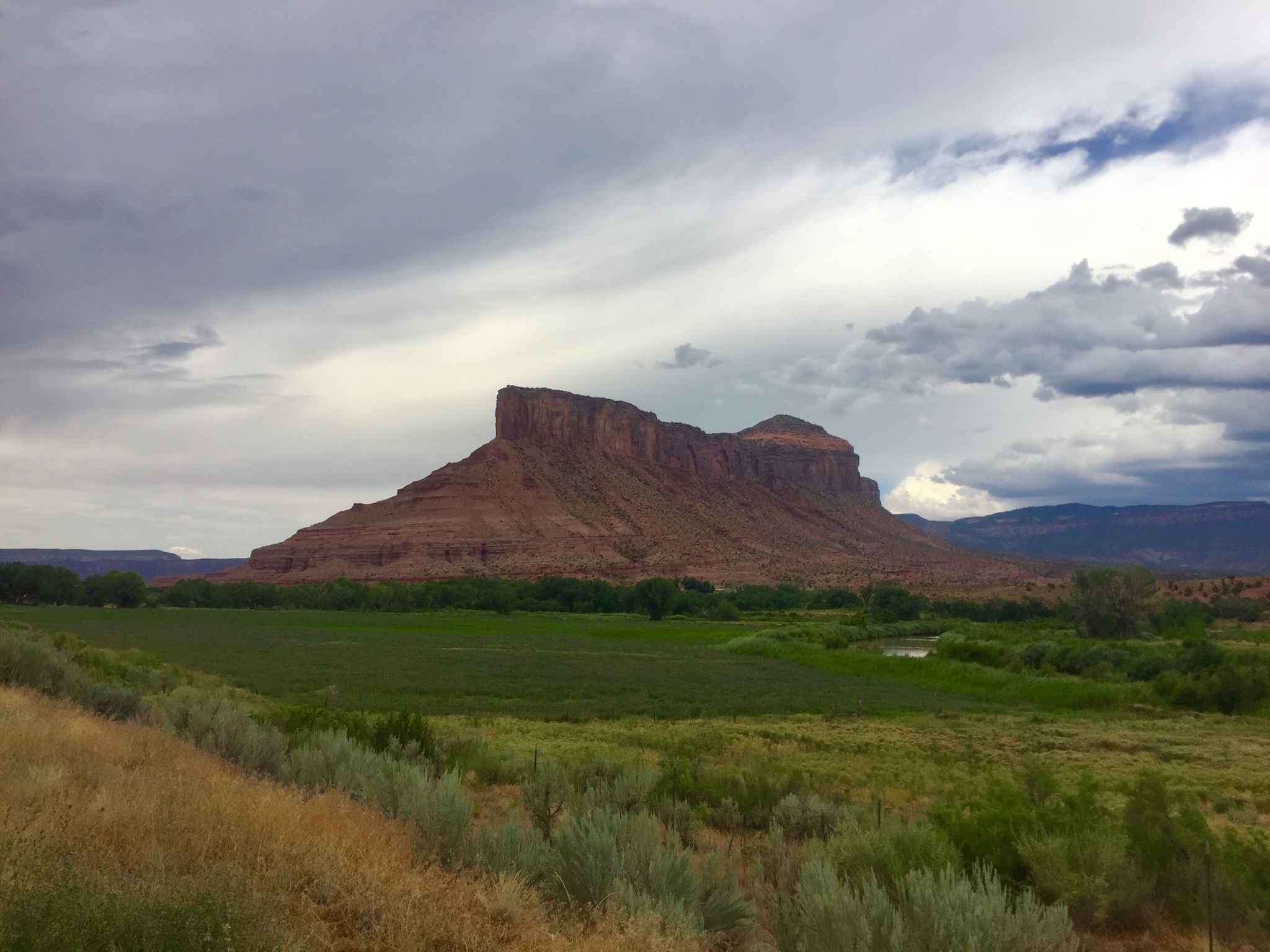
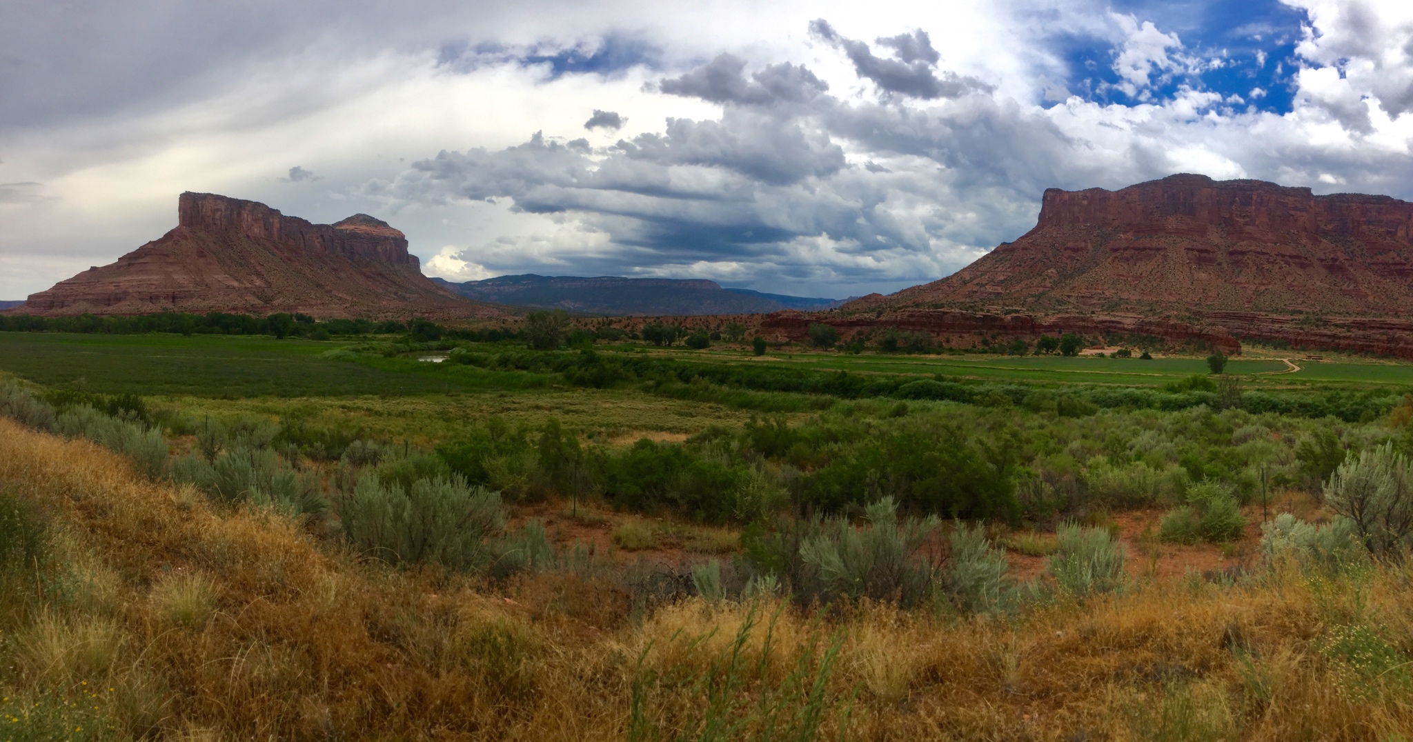
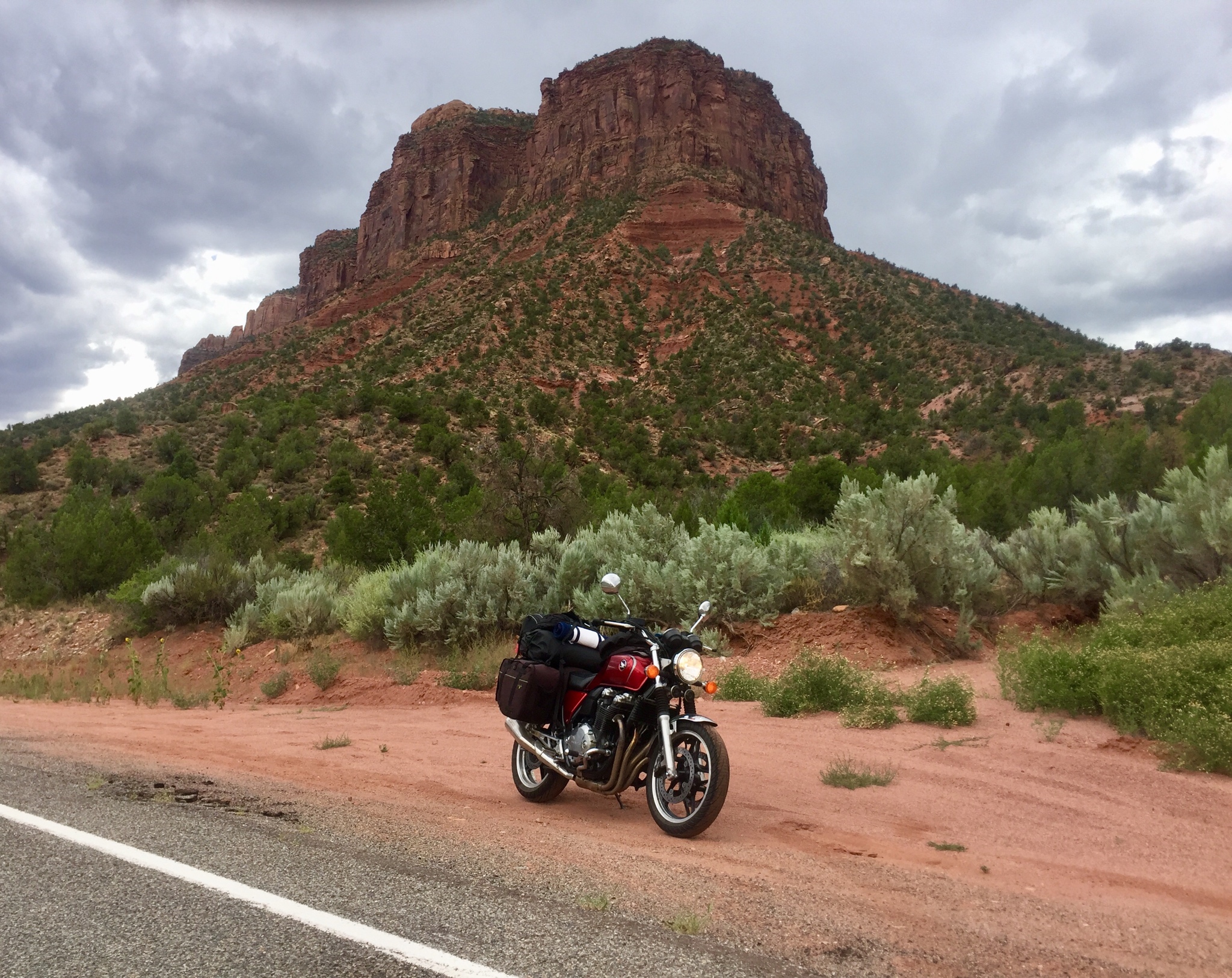
Decided to head north towards Highway 141, per a fellow inmates recommendation. Many here probably know dogjaw, he told me that this stretch of road between Naturita and Gateway was one of if not the best in the country. Had to go decide for myself. It definitely did not disappoint.

77d7f7c5436508a93c227e957e0a1c0a.jpg


96717d02c11cf8f8a6646d691cc87aa8.jpg


ce7d7d61c3a7296f4f7d05c924bef1ee.jpg


e8252fef04f9f5f748d8be0153e5523f.jpg


58f5394e30e47d45d809a70502492e3c.jpg


0cee672915c7159b8d78dbb485304a81.jpg


51 miles of absolutely perfectly sculpted curves, gorgeous scenery, swimming holes, and more. With little to no traffic. Motorcycle Mecca. Stopped in the middle somewhere for a dip in the river which felt amazing in the midday heat.

Rest of the day was pushing east towards Black Canyon of the Gunnison, another spot recommended by dogjaw. Hit a bit of rain coming out of Gateway Canyon and then high winds on the highway, but made it Crawford, CO around dinner time which is nearby the canyon. Was unsure of where to camp that night but luckily there was a young couple traveling as well that I met that told me they were camped at the North Rim campground and to follow them there after dinner. It was a long but well graded dirt road into the campground and once we reached it it was obvious there were no open sites available. They were kind enough to share their site with me and we hung out by the fire that night and got to know each other. One of many examples of the kindness of strangers while traveling.

Pics of the canyon next!
 
Great pics. Love the brooding sky in the second last.
 
dbarkdoll_imp said:
Woke up the next morning and ran Highway 145 down and back, AKA Lizard Head Pass.

cb5a4cd29f5c8149899a873a4954557b.jpg


6e02102f0cbcc13da54425e62c7a9741.jpg


Stopped in Stoner, CO for an obligatory selfie.

559410b8d96cf114ae70933eea4765b4.jpg


Decided to head north towards Highway 141, per a fellow inmates recommendation. Many here probably know dogjaw, he told me that this stretch of road between Naturita and Gateway was one of if not the best in the country. Had to go decide for myself. It definitely did not disappoint.

77d7f7c5436508a93c227e957e0a1c0a.jpg


96717d02c11cf8f8a6646d691cc87aa8.jpg


ce7d7d61c3a7296f4f7d05c924bef1ee.jpg


e8252fef04f9f5f748d8be0153e5523f.jpg


58f5394e30e47d45d809a70502492e3c.jpg


0cee672915c7159b8d78dbb485304a81.jpg


51 miles of absolutely perfectly sculpted curves, gorgeous scenery, swimming holes, and more. With little to no traffic. Motorcycle Mecca. Stopped in the middle somewhere for a dip in the river which felt amazing in the midday heat.

Rest of the day was pushing east towards Black Canyon of the Gunnison, another spot recommended by dogjaw. Hit a bit of rain coming out of Gateway Canyon and then high winds on the highway, but made it Crawford, CO around dinner time which is nearby the canyon. Was unsure of where to camp that night but luckily there was a young couple traveling as well that I met that told me they were camped at the North Rim campground and to follow them there after dinner. It was a long but well graded dirt road into the campground and once we reached it it was obvious there were no open sites available. They were kind enough to share their site with me and we hung out by the fire that night and got to know each other. One of many examples of the kindness of strangers while traveling.

Pics of the canyon next!
Looks like a decent avatar candidate. Better grab it before someone else does. :)


Hmmm, golden sunglasses.
 
Thread starter
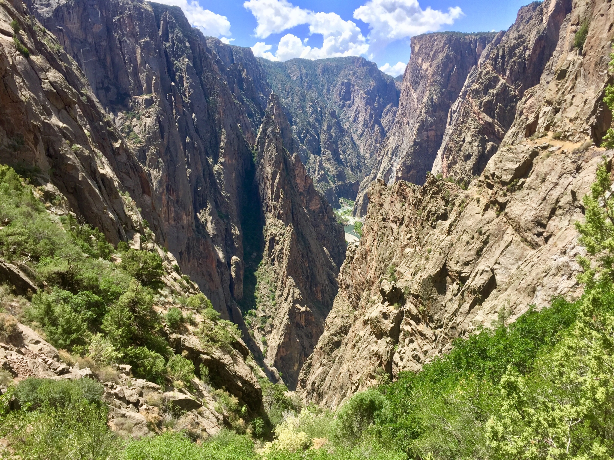
Woke up the next morning and walked maybe 1/8 of a mile to the rim of the canyon to behold this:

537c6a436259c6e0745c77f46e4e0e59.jpg


Average height of the canyon is 1,600 feet, Painted Wall which is visible in the photo is 2,250 feet, making it the tallest sheer cliff in Colorado.

Then met a fellow rider in the campground who was doing a bit of touring himself although in much different style.

6326fe05c963ce0a2d94b5b03bcae76d.jpg


aeca9725b8659b2d839c082808c912d7.jpg


That's an EBR (Eric Buell Racing) 1190. One of the most exotic bikes I've seen and heard in person. That big ol' chunk of frame you see acts as the fuel tank as well. So many little details on this bike that scream performance. Couldn't believe he was road tripping on it but hey, it's the rider not the bike, right??

We ended up riding the North Rim Road together which was really cool and yielded some incredible views:

890ed1bcd6d500e2c15bb8c4a874c361.jpg


26ff7e6c95768978567e1034e915bd20.jpg


After he departed I fancied a little hike to get a bit more up close and personal with the canyon. Boy did I get what I asked for. A duo of climbers camped next to me suggested a "trail" that led down into the canyon all the way to the Gunnison. Sounded cool, why not. Filled my Camelbak up and was on my way. Quickly found out this trail was much more of a scramble down a very steep gully where the path of least resistance was not so much a footpath but more like a natural rock slide avenue. Nonetheless I descended down.

80d3512647452c88a494a4b0ffb78987.jpg


Only passed one person on my way down, they were coming up and seemed to be in fairly good spirits which was encouraging. They told me to just keep plugging away and enjoy the hike. After a very steep and hot two hours, I finally made it 1600 feet down to the bottom in about a 1 1/4 mile of distance.

91bb31bceb3f9c3828436eb23b750b28.jpg


The river was raging, the canyon walls were staggeringly high, the water was cold and crystal clear, and I had it all to myself. A very invigorating and liberating experience for sure that I reveled in for some time before making the dreaded climb back out. Only one way back to camp though which was up, so better get to it.

I quickly realized climbing out was going to be much more taxing than stumbling down. I made a big mistake by attempting this hike during midday, temp was prob somewhere in the 90s and shade was few and far between. I would climb from shady spot to shady spot basically, stopping at each point for a while to catch my breathe and try to keep cool. The "trail" as I mentioned was very hard to keep track of and at some point about halfway up I lost it. Didn't realize this until it was too late to go back down and try to pick it back up so I kept forging ahead, knowing that my water supply was getting low and that I did not want to spend the night in this godforsaken canyon.

The going got tougher and tougher the higher I got to where I was bushwhacking through all sorts of crap, getting scratched up and knocked down, grasping for anything to pull me up the loose steep gully. I was starting to get a bit frantic. I had been in the canyon for close to 5 hours now and was starting to feel the heat really get to me. Kept climbing my way up and out through the underbrush until finally I reached the rim and things flattened out. Still no trace of any sort of trail but I picked a direction I thought the road was in and bushwhacked towards it. Finally caught sight of the ranger station which gave me my bearings, found the trail soon after and I was home clear. I had ran out of water not long before so my timing was a bit close for comfort. Made it back to the campground and was absolutely beat. Started to feel real bad so lied down in my tent for a bit just trying to recuperate, but was roused out by a uncontrollable need to be sick in the bushes. Threw up I'd say a couple liters of water and a bunch of bile, lied back down and felt pretty awful the rest of the night. A very humbling experience to say the least and not one that I will soon forget.
 
Glad you're OK Daniel. It sounded such a promising start, too. It looks staggeringly beautiful.
 
Unreal scenery there! Very good to hear you are ok after that hike--at leas you've got a good story to tell.
 
Thread starter
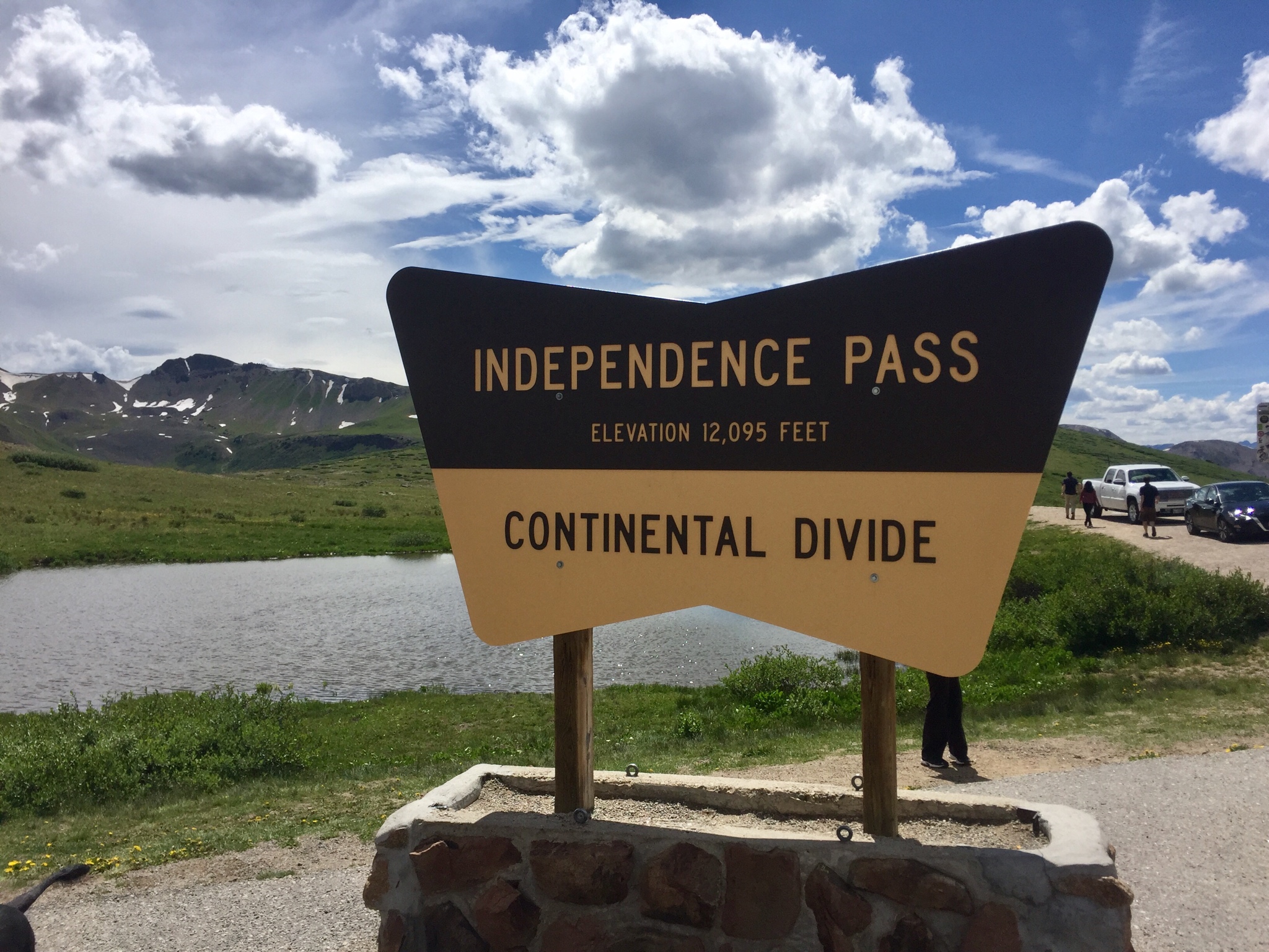
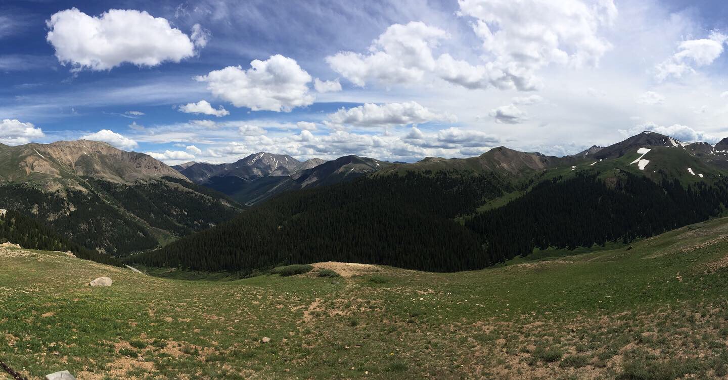
Next day was a bit of a blur, looking on the map here to try to remember where all I went cause I took very few photos. I believe from Black Canyon I headed north to Carbondale. Got some lunch at a brewpub there and then headed towards Aspen. Went through town just to say I'd been there but didn't stop anywhere. From there headed east towards Independence Pass. What a crazy road. At times the center line disappeared and things got very narrow. I felt grateful to have the opportunity to ride it while the weather permitted it cause I can easily see that road being closed for most of the year. The view from the top was incredible as well.

e3b2db2601479dbd469bf604c1a6e3b8.jpg


5d0d48a7dd94f4a6869a944a4d27ffa6.jpg


From there I headed north, passing through Leadville, Silverthorn, and Kremmling towards Steamboat Springs. I wanted to visit the Strawberry Hotsprings the next morning so ended up camping at a National Forest campground not too far away. Laid down a bunch of miles that day, close to 330 if I recall.
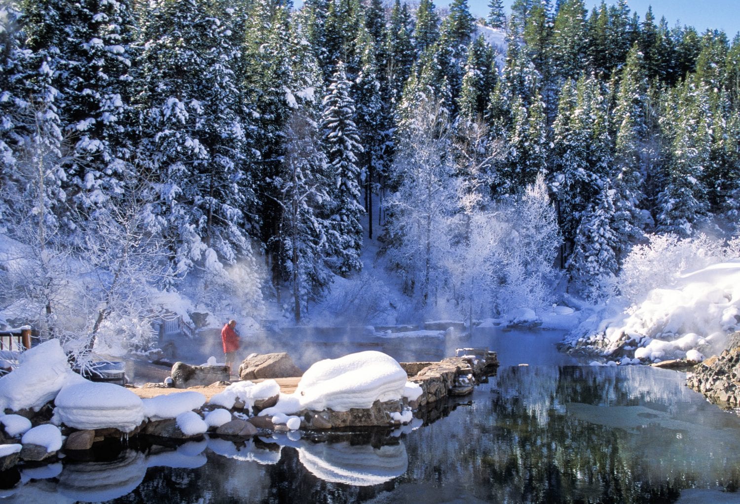
Had a very chilly morning the next day, not sure of the elevation at that campground but I believe it was around 9,000 ft. Rode towards Steamboat to fuel up and then headed towards the hot springs. This is another bucket list place if you've never been. I had been once before on Christmas Day several years ago and knew that I wanted to go back on this trip. Especially since I was still veryyyy sore from my canyon adventure. I took no photos there and it was nowhere near as memorable as my first visit, but i stole this photo off a website to give you an idea of the scene when I first went. It was actively snowing while I was there during that time as well.

7992ee9256ec04bf9fd7bc1d129e8998.jpg


The pools are terraced in a way that the higher up ones (closer to the source) are the hottest, and cool down as you move down. There is also a natural creek that runs along side the pools that you can go swim in to cool off. Felt so good switching back and forth. A very special place indeed.

After that I headed back through Steamboat on my way east towards Ft. Collins. I ran into this young man at the station, how could I have not stopped to chat??

5abf852cd4ca9d03d79ffd3bc7427b95.jpg


He was taking a weekend trip and like many said he was jealous of mine. Really cool kid and we talked bikes for a minute before realizing we were both heading the same direction for a bit so off we went screaming up the mountain pass on Highway 40 east. I was holding 70 up the whole thing a bit worried that i was going to lose him but he was right on my tail the whole time, it was a blast. Particularly imagining the thought running through the heads of all the HD guys/gals we passed on our "old" Hondas.

I peeled off at Highway 14 and kept riding towards Ft Collins. As I got close to Cameron Pass (10,249 ft) the sky took on a very ominous tone. I was almost certain I was in for some weather.

e9b0d58490397e850c116495bdebb22d.jpg


Somehow I avoided any rain, one of many times on this trip that I lucked out big time. Didn't even stop at the top of the pass, just wanted to get down into the canyon before my luck ran out.

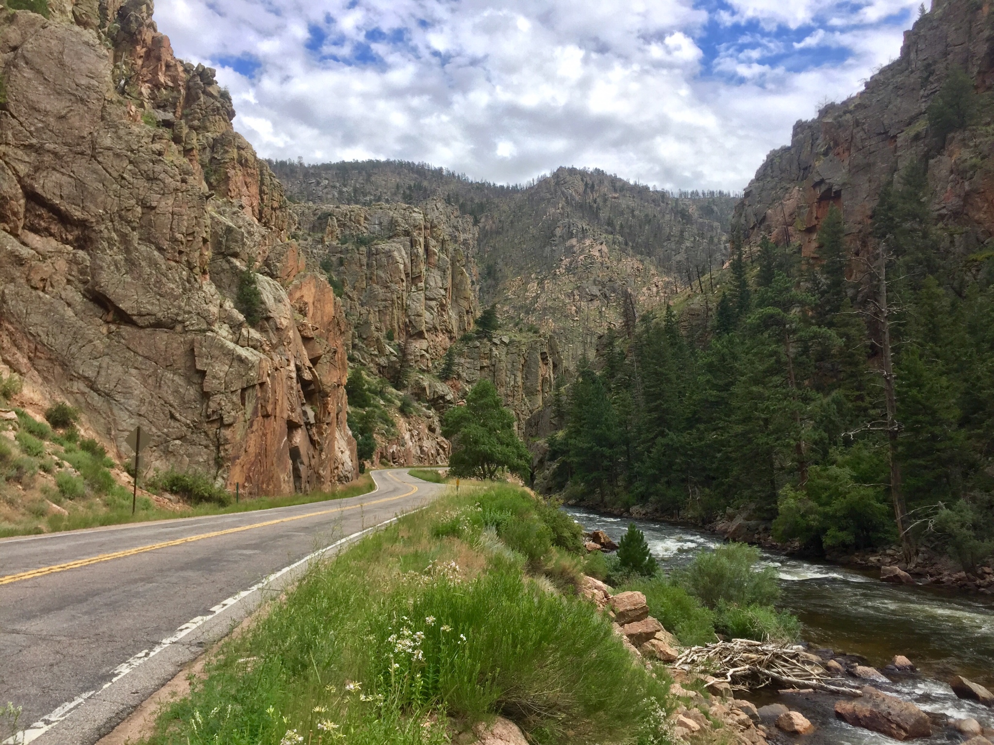
Took the Poudre Canyon all the way into Ft Collins which is a stunning road. Saw a bunch of folks rafting, a buddy of mine is a guide there and said I should have stopped and said hey, not sure how those logistics would have worked out though!

b04c2fa417101f9d2984e727ba31ced6.jpg


Made it into Ft Collins safe and sound where I had a bed and shower for the first time all week. Spent two nights there catching up with a friend and my sister, a good break from the road for sure.
 
Thread starter
Bheezy27403_imp said:
Thank you for posting all this. Seems like quite the adventure and makes me want to sell off my girlfriend and son and hit the open road!
Haha, I'm not gonna say that you shouldn't!
 
Dbarkdoll, is this your first big tour? Would you do it again?
 
I’ll look forward to reading your analysis of how the bike went and why you’d like an AT for the next trip. :thumbsup:
 
Great report. Hey, when you hiked down to the river in Black Canyon, you didn’t happen to find. “Gorge Flyshop” ball cap, did ya? Mine blew off my head while hiking there in 2007. Let me know. ;)
 
Looks like it was an awesome trip. Very cool pics.
 
Thread starter
EmptySea_imp said:
Great report. Hey, when you hiked down to the river in Black Canyon, you didn’t happen to find. “Gorge Flyshop” ball cap, did ya? Mine blew off my head while hiking there in 2007. Let me know. ;)
I did not, haha. I did manage to loose a pair of sunglasses as well though.
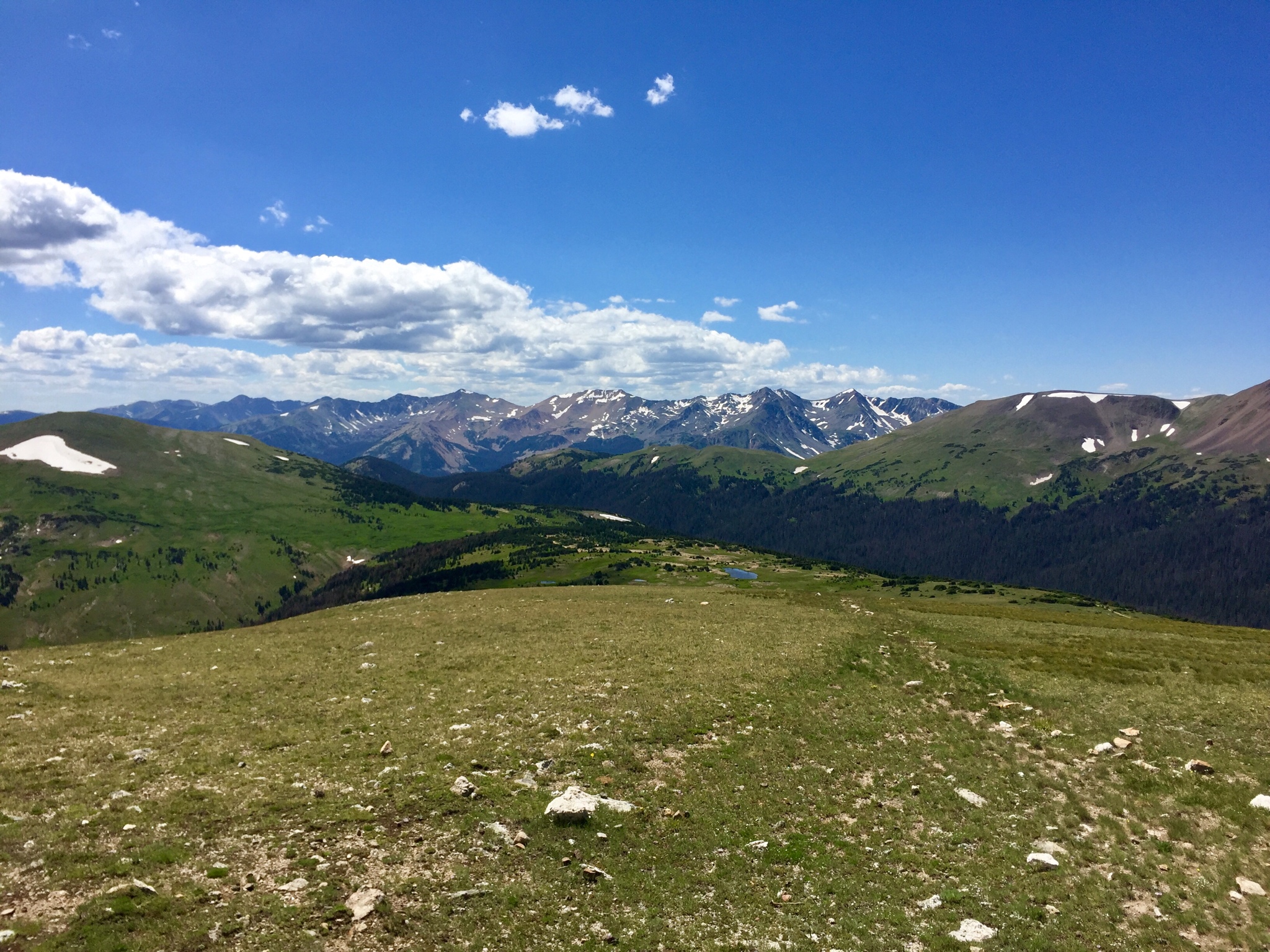
Left Ft Collins on, well, to be perfectly honest I don't remember what day I left lol. Doesn't matter. I do recall riding towards Estes Park though. I should have stopped and hung out there for a bit probably but I was eager to get into Rocky Mountain National Park before it got too crowded and before the afternoon storms started rolling through. What an incredibly beautiful and intense place.

c43c4d6e8e2c14673be2ee6ebc827fbd.jpg


The road in takes its time gaining elevation to where at first I was like, "is this it..?" The answer was a resounding no, this is not it. Eventually I was up above 10,000 feet and still climbing, in a completely alien and surreal world up in the clouds. 14'ers everywhere. Fast, colddd winds, especially for mid August. Well above the tree line. A totally barren and inhospitable place indeed but one filled with amazing beauty. The highest point on the road is 12,183 ft. Highest elevation I was at for the trip and my whole life I believe.

489970588dc4b6a2e69645886c5b3562.jpg


0f4780152597342908db1e57a067caee.jpg


8d58f23d5ddcfaa20976c552f8ee80e3.jpg


e5e44881d30f53bd870b6fa56ee8c850.jpg


So hard to get a good picture there, the spaces are just so massive.

While I could have spent all afternoon up there the brisk winds and looming clouds convinced me otherwise so it was time to make my retreat. I had made it this far without getting caught in an alpine storm and was looking to keep that going. Rode south until I found a campground (after several failed attempts down a very long gravel road) near Lake Granby.
 
Back
Top