the Ferret
Road warrior
Thread starter
Getting ready for the Fall Men's Trip this year, we are calling the "OKI trip" (Ohio/Kentucky/Indiana) I was scouting a loop in Indiana today. Turned out to be pretty nice except the 1st and last hour, getting to/from Indiana is either an hour by freeway, or an hour cutting thru Cincinnati from the east side to the west side.
Today's loop... (which I named the Chief White Eye creek and river loop)
We took the route thru Cinti on the way to Indiana. Once in Indiana we (my wife and I ) took 50 west to 62 at Dillsboro, 62 south thru Friendship (where a giant primitive event is held every year) a jog on 129 then back on 62 (also known at this point as the "Chief White Eye Trail" for some reason, according to the sign as you turn off 129 (I googled it with little luck) on down to 56 at Madison on the Ohio River (where a giant speed boat regatta is held every year). We ate lunch at a quaint little place in Madison (where I had black cracked pepper potato chips with my sandwich for the first time.. wife liked them, me not so much), Then east/north up 56, following the Ohio Scenic Byway back to 50 at Aurora. Once on 50 we picked up I-275 and followed it south around Cinti to the eastern side.

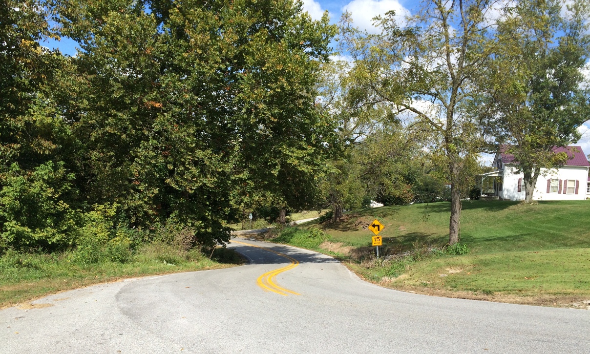
215 miles altogether. It was pretty scenic and the roads were somewhat hilly and pretty curvy. Probably best I can do for a loop in se Indiana, according to the maps I've looked at.
Today's loop... (which I named the Chief White Eye creek and river loop)
We took the route thru Cinti on the way to Indiana. Once in Indiana we (my wife and I ) took 50 west to 62 at Dillsboro, 62 south thru Friendship (where a giant primitive event is held every year) a jog on 129 then back on 62 (also known at this point as the "Chief White Eye Trail" for some reason, according to the sign as you turn off 129 (I googled it with little luck) on down to 56 at Madison on the Ohio River (where a giant speed boat regatta is held every year). We ate lunch at a quaint little place in Madison (where I had black cracked pepper potato chips with my sandwich for the first time.. wife liked them, me not so much), Then east/north up 56, following the Ohio Scenic Byway back to 50 at Aurora. Once on 50 we picked up I-275 and followed it south around Cinti to the eastern side.
215 miles altogether. It was pretty scenic and the roads were somewhat hilly and pretty curvy. Probably best I can do for a loop in se Indiana, according to the maps I've looked at.