

Thread starter
A few weeks ago, Portland, OR was overtaken by forest fire smoke. Evac line got within about 6-7 miles of where I live, but today I wanted to see just how close the fire did get.
Estacada, about 3,000 population, is about 15 miles away and a friend said they stopped the fire just southeast of town along hiway 224. Red areas on map indicates burned area right along the side of the road:


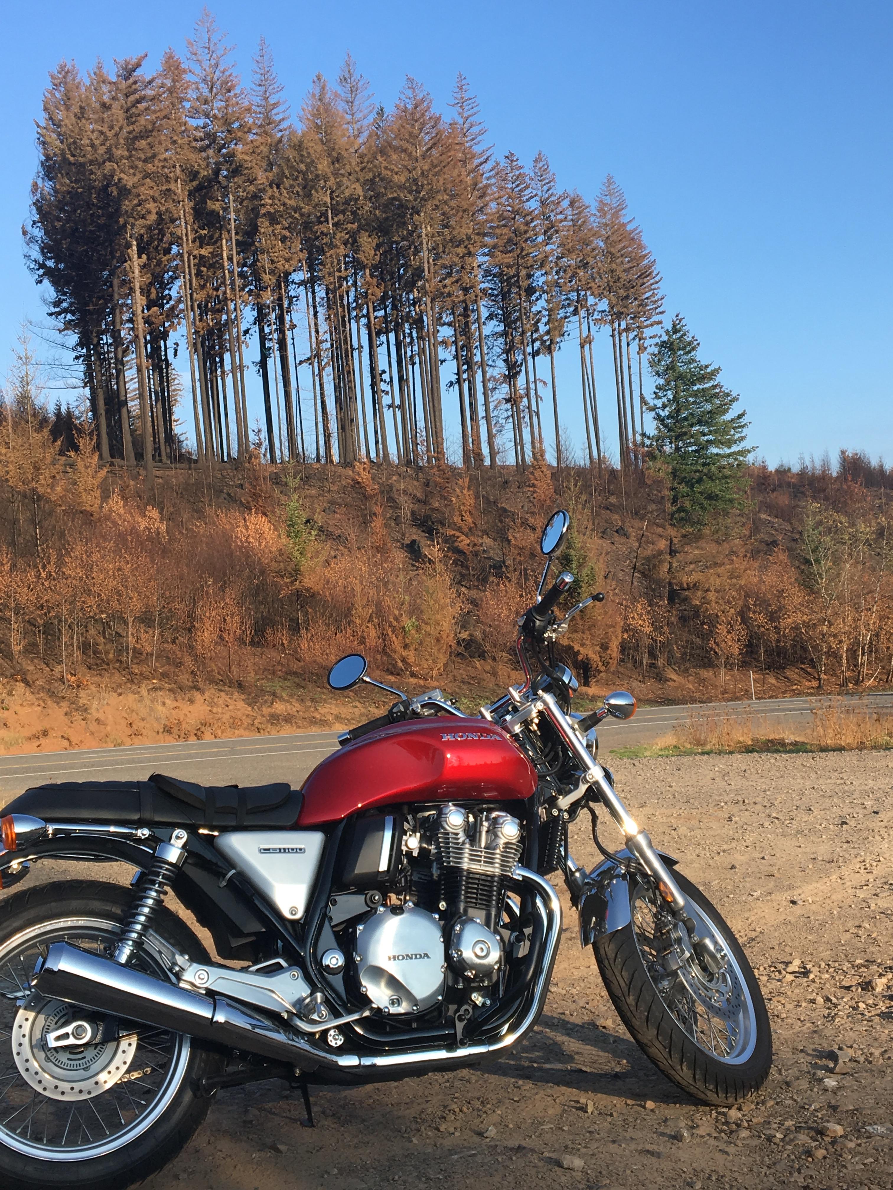

Sad to see. Gree areas right next to burnt forest, then patches of green, swaths of burned out areas. Still smelled like smoke. Hiway 224 was closed about 6-7 miles southeast of Estacada. Lots of burned trees fell onto the hiway.
Estacada, about 3,000 population, is about 15 miles away and a friend said they stopped the fire just southeast of town along hiway 224. Red areas on map indicates burned area right along the side of the road:
Sad to see. Gree areas right next to burnt forest, then patches of green, swaths of burned out areas. Still smelled like smoke. Hiway 224 was closed about 6-7 miles southeast of Estacada. Lots of burned trees fell onto the hiway.


