

Stichill
Road warrior
Thread starter
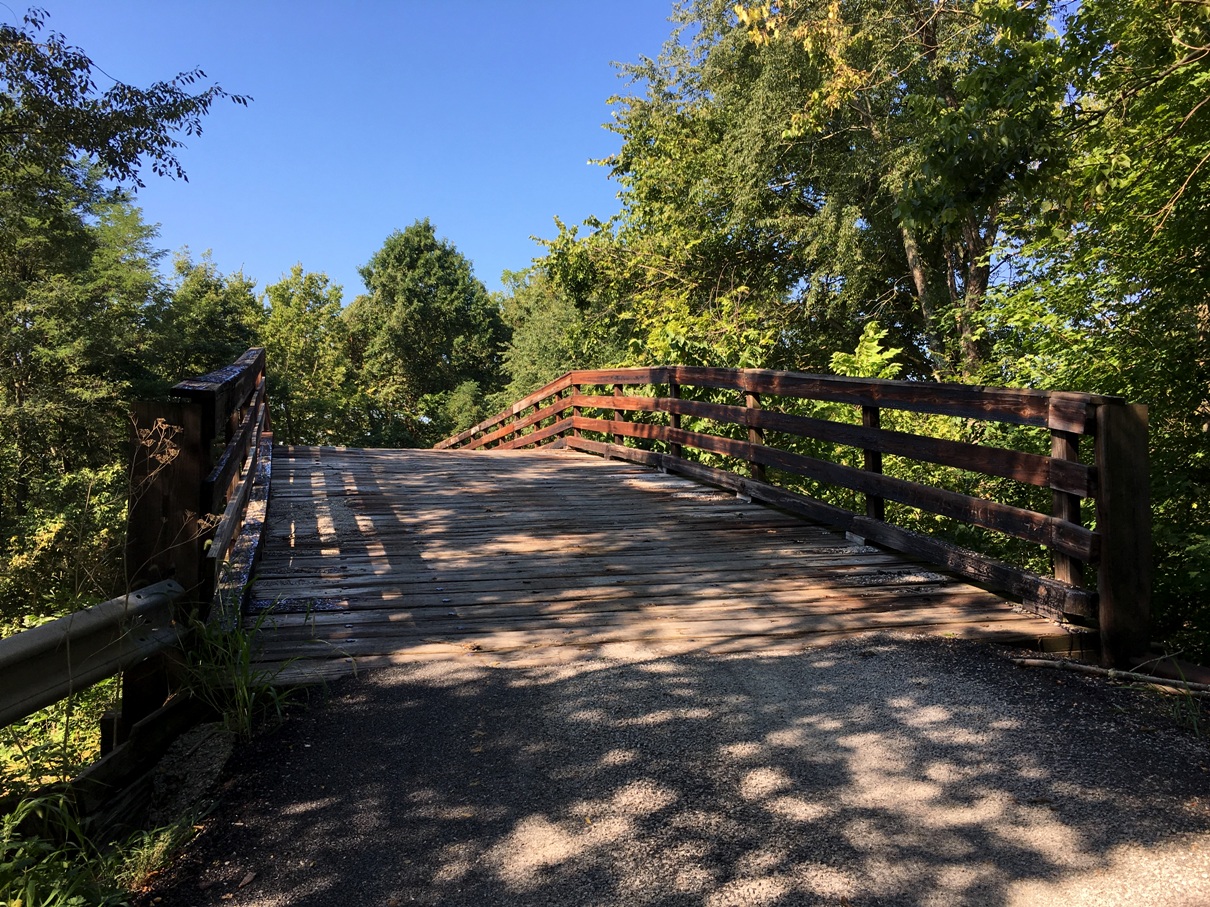
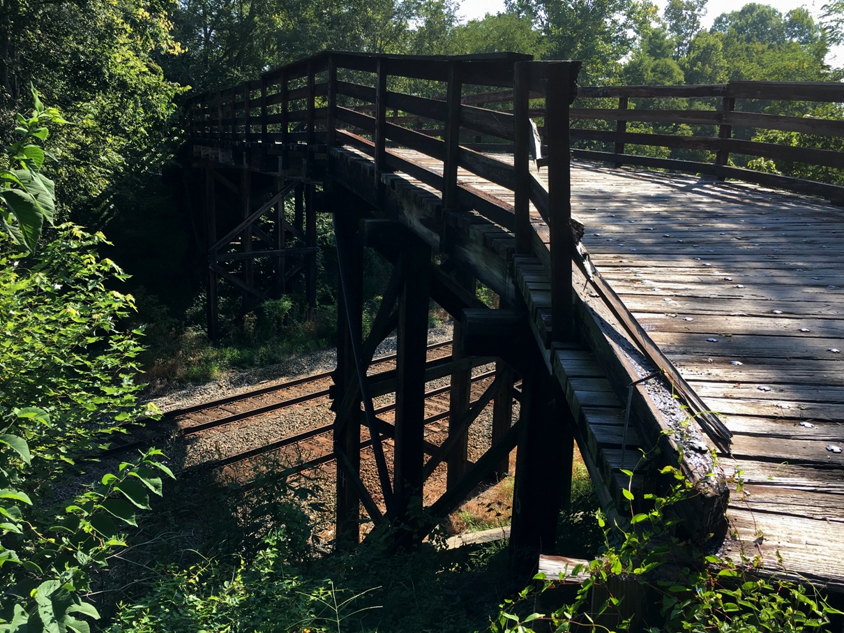
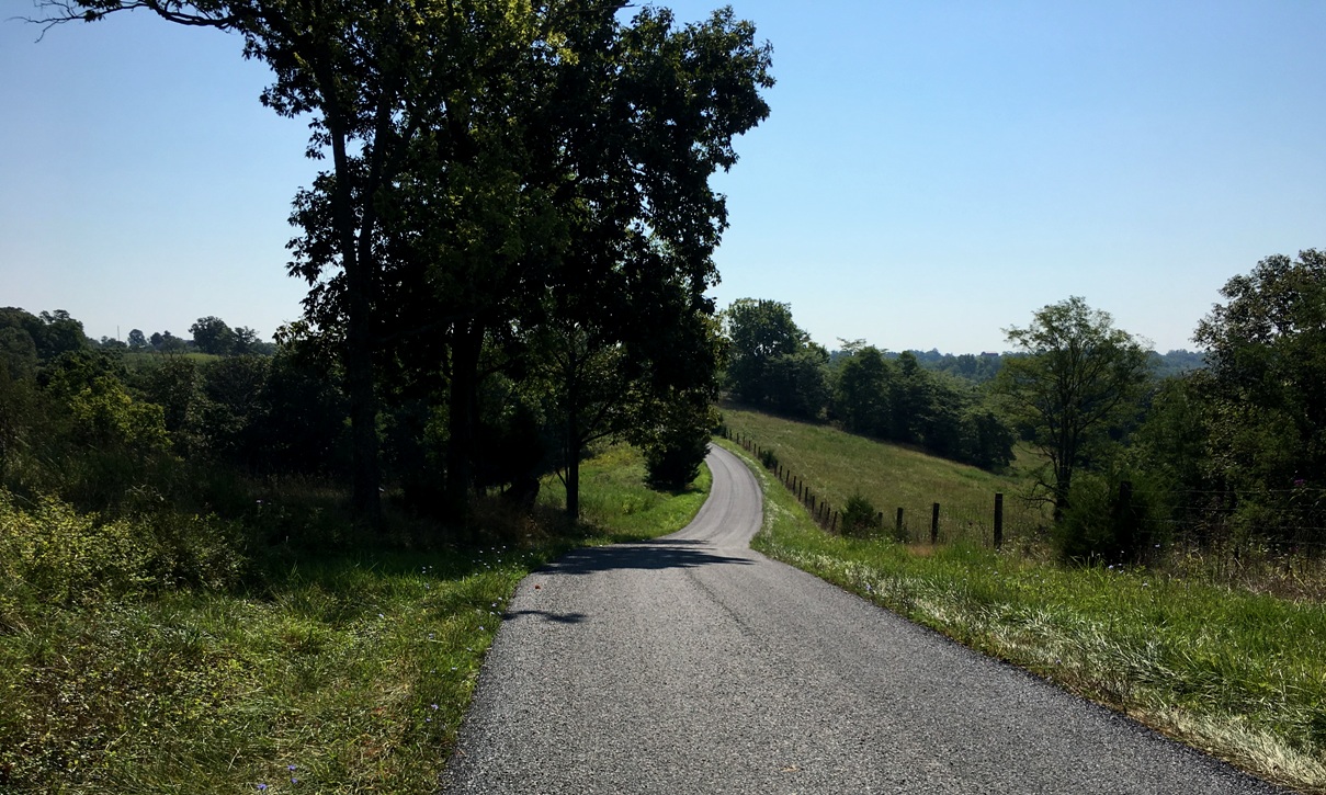
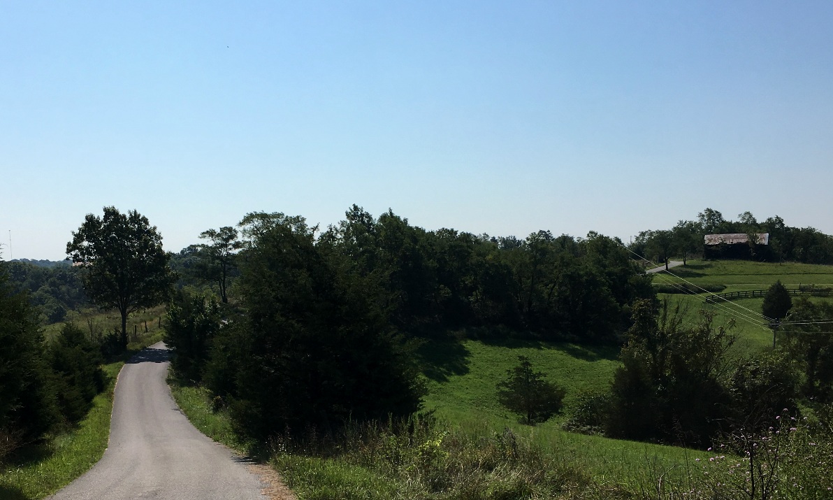
Some of the most interesting rides I've taken locally are when I use my TomTom GPS feature called "Plan a Thrill". The name is a misnomer for what you get, at least here in Kentucky. With this route planning algorithm in charge, you will be directed down the smallest possible, most remote, and infrequently traveled roads. I've had some occasions where the road simply became private property, or petered out into nothing. At that point, the GPS snaps out if its apparent slumber and directs you to re-trace the last 5 miles of your route to return to civilization. These routes do not represent thrilling riding, unless you consider lots of loose gravel, unexpected sharp changes of direction, narrow bridges of indeterminate suitability for motorcycles, and a narrow riding path to be thrilling. At most you can ride 25-35 mph, visibility ahead permitting, and beware your front brake.
Today one of those "GPS" experiences occurred. I took a left off a one-lane road onto an even smaller one-lane road. A shirtless, tow-headed boy of about 12 years old appeared out of the woods on my right driving a Gator and followed me to...his house in the middle of the woods. When I stopped, he pulled up beside me with a look of puzzlement. I said, "My GPS brought me here for some reason! I need to turn around!" He said, "Just go through the yard, it's OK!" So that's what I did as his dad looked over from his farm chores quizzically.
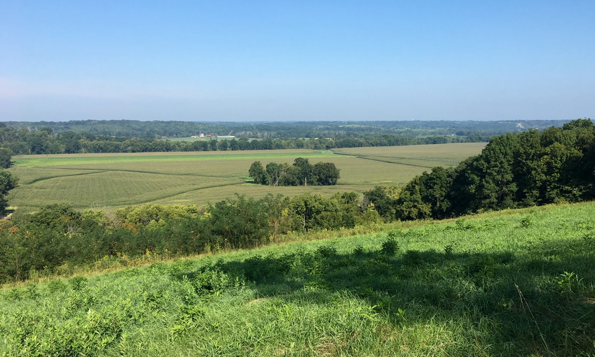
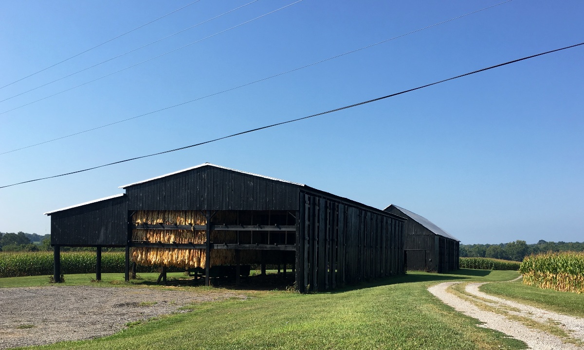
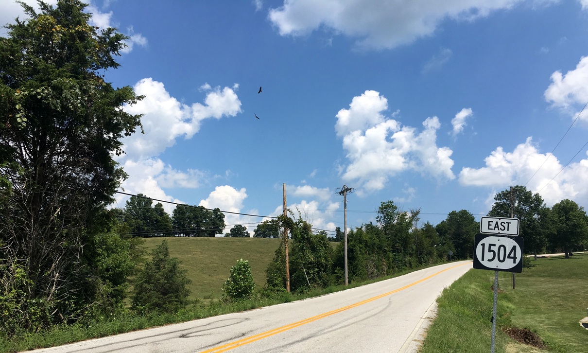
Here are some scenes from the ride.
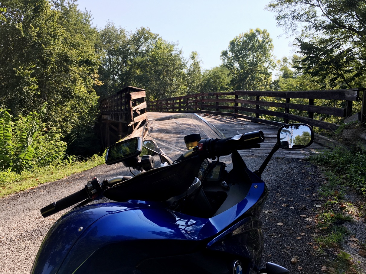
I recommend getting off the bike and walking the bridge looking for tire hazards.
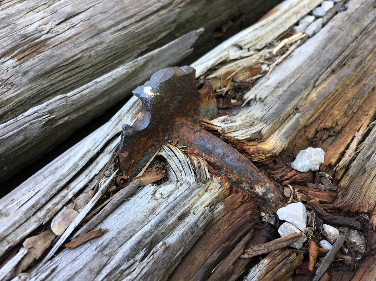
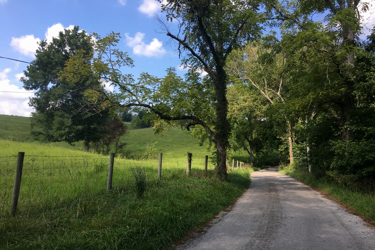
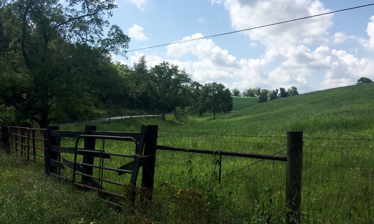
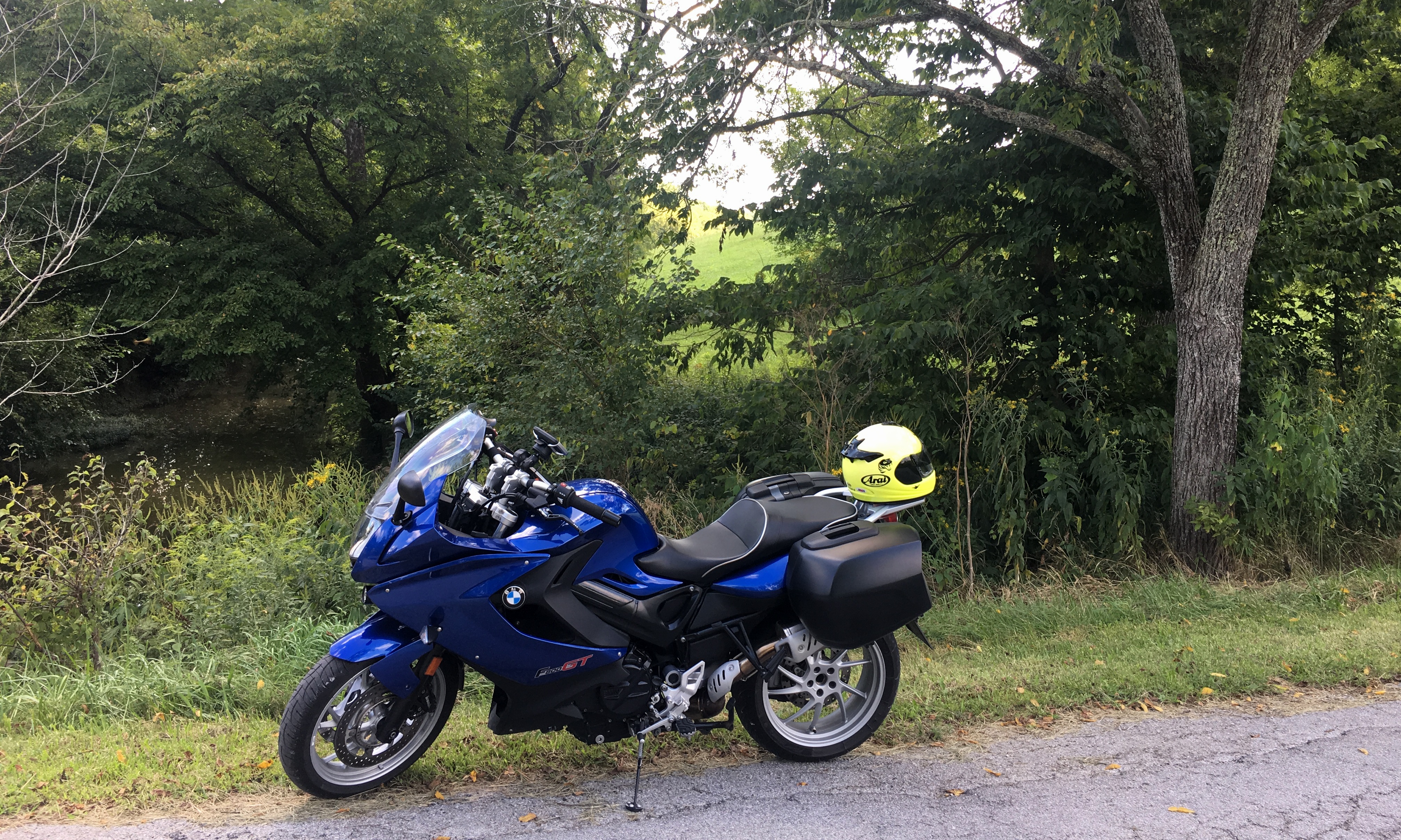
Lunch in Cynthiana.
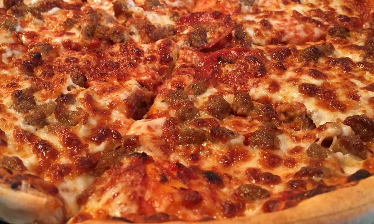
Ferret's road recommendation. Fantastic...no decreasing-radius or off-camber curves. All fast sweepers with good visibility and no traffic.
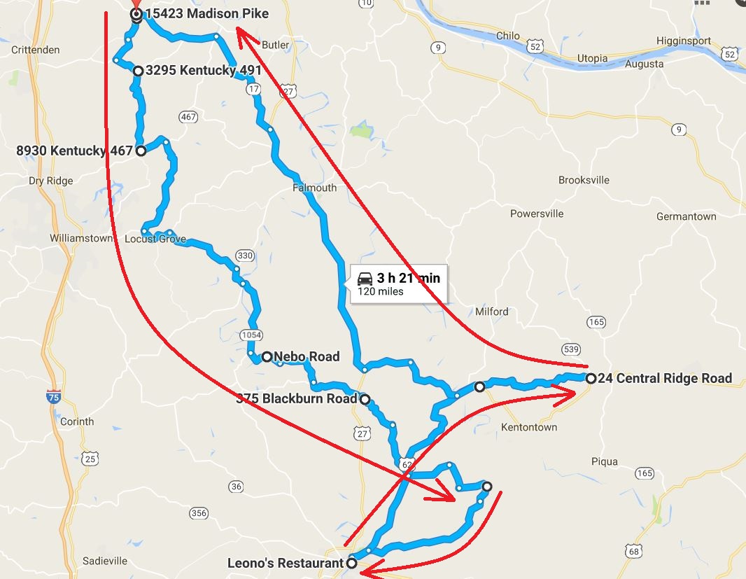
Route (more or less, lol)
Today one of those "GPS" experiences occurred. I took a left off a one-lane road onto an even smaller one-lane road. A shirtless, tow-headed boy of about 12 years old appeared out of the woods on my right driving a Gator and followed me to...his house in the middle of the woods. When I stopped, he pulled up beside me with a look of puzzlement. I said, "My GPS brought me here for some reason! I need to turn around!" He said, "Just go through the yard, it's OK!" So that's what I did as his dad looked over from his farm chores quizzically.
Here are some scenes from the ride.
I recommend getting off the bike and walking the bridge looking for tire hazards.
Lunch in Cynthiana.
Ferret's road recommendation. Fantastic...no decreasing-radius or off-camber curves. All fast sweepers with good visibility and no traffic.
Route (more or less, lol)


