East of Mt. Hood

pdedse

Moderator
Staff member
Thread starter
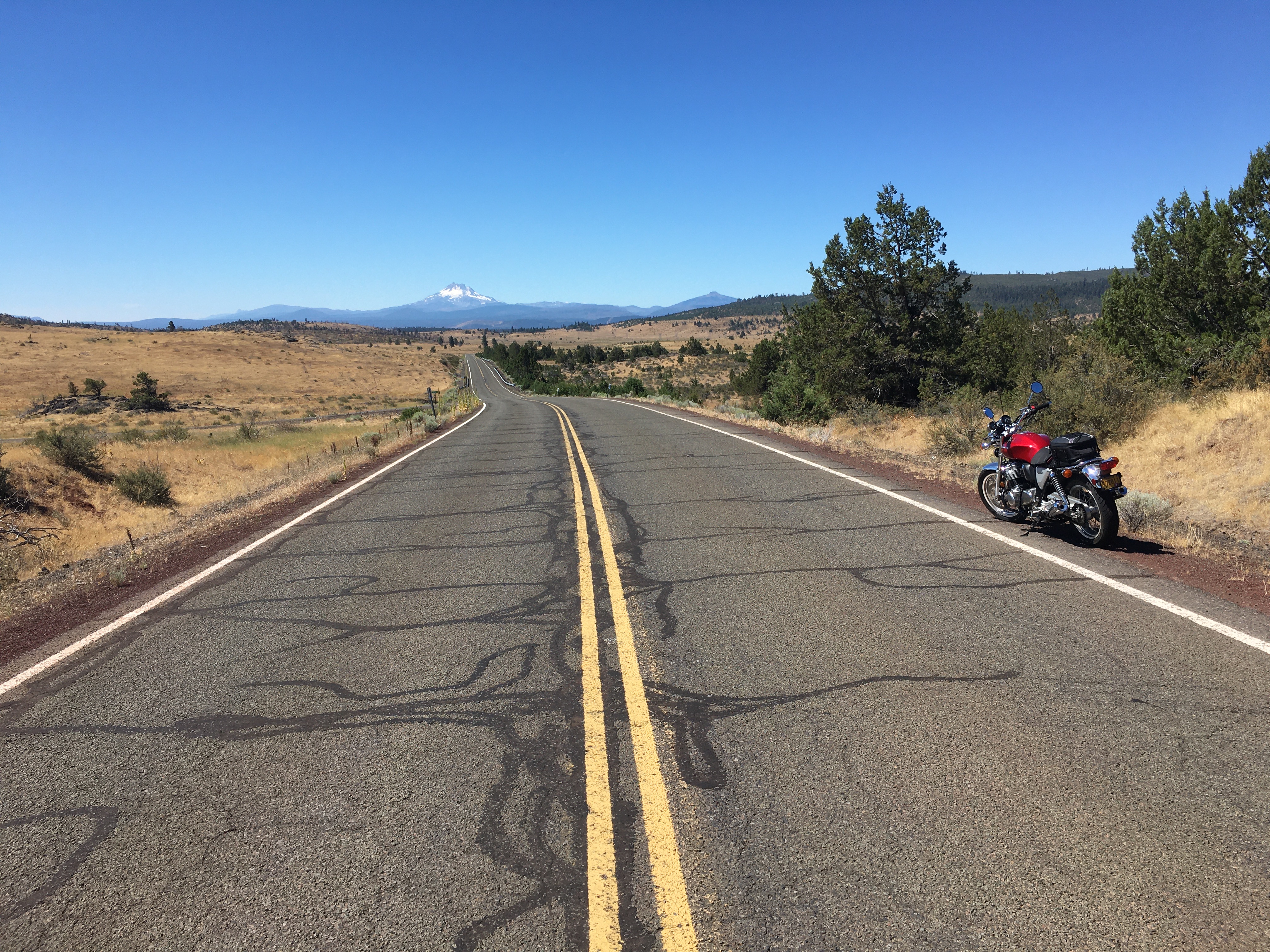
Time to get away...just a day trip, wanting to explore the east side of Mt. Hood.

ff9b0552ff13ae1e11e7b17b20634a30.jpg


Took 26 past Hood, then 216 towards Maupin, but turned south on Rerservation Road at Wapinitia towards Warm Springs:
1c2ac0b70fb7be48239ac3800c89071b.jpg


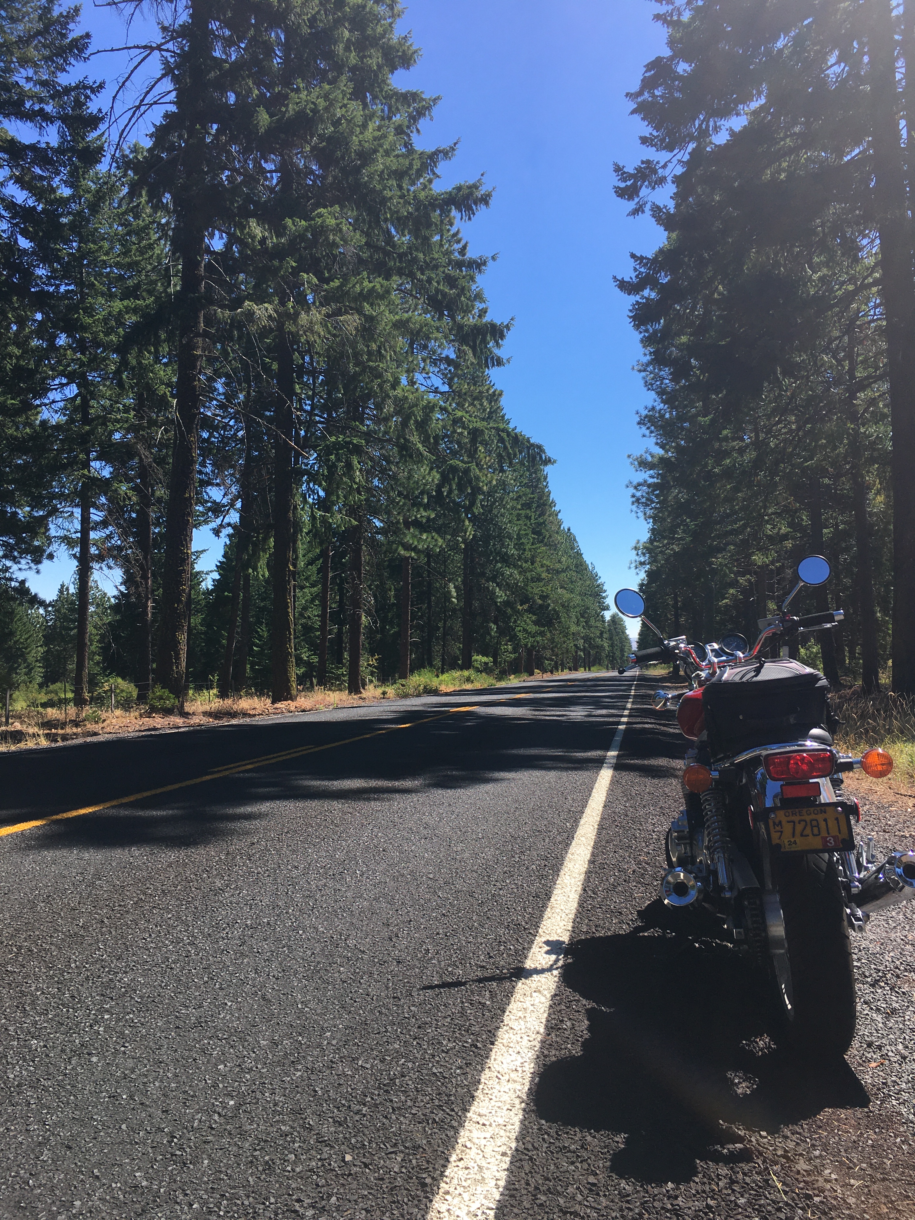
I always like coming down the east side of Mt. Hood as the forest transitions to wide open spaces...
c2210e6f6588c4069f0f2c279b24b03e.jpg


Mt. Jefferson in the background
437b67aec0235e4930b4a50139db18d6.jpg


2efaaa05fd44fb25be58b17983af2afc.jpg


98726777ab9a59eef957c2c4a7594a04.jpg


af41aa491d7e61ec083cff2f3eb2835f.jpg


9f30ef5b1f5ed3f3ec86553b3b30e090.jpg


A very enjoyable ride, and nice alternative to staying exclusively on 26 to Madris. After lunch in Madras, headed north on 97 and then east on 293 to Antelope and Fossil.

Very few cars about. Temps in the mid 80s.
f6cfd0bdd3eeafb9a789f7076bcd5575.jpg


44ea44b9087f4728f89daf5f00413f99.jpg


After Fossil, whatever trees were around...were no longer.
03fea072558d8b3103237b1034cd2d29.jpg


If you like open spaces, this is the spot:
47ca53111f11eddbe5e9a79084006aaf.jpg


At Fossil took 19 to Condon, then 206 to Wasco.
9a5ccd1e68d874af54fef14ce7909f9b.jpg


3f942968e7c187fbb1d919bdf92eb872.jpg


Then up to I-84 and fight the strong headwinds back to Gresham. Started around 10am and made it home by 7pm.
 
Thread starter
GoldOxide_imp said:
Nice.

No rain pdedse!

Hood in view always seems something like a signpost in the region.
I'm trying to take advantage of the dry days...I feel like a squirrel hoarding nuts for the winter, except instead of nuts...mc rides with no worry of rain gear.

GoldOxide_imp said:
Nice.

No rain pdedse!

Hood in view always seems something like a signpost in the region.

It is!...while I do have Mt. Hood in way too many photos, the one mt shot in this batch is actually of Jefferson, about 50 miles to the south of Hood as the drone flies.

From the map below, the peaks that consistently appear on the horizon on my day rides are Ranier, St. Helens, Adams (all in WA) and Hood and Jefferson in OR.
f7b00689766fe7ff4c9e9bbdcd359f67.jpg


On a hike to this ridge south of Mt. Hood (Mirror Lake), you see them all at the same time. This gives you a partial idea:
1cf1747b6905aeeedd7360a5f59a79be.jpg
 
pdedse_imp said:
GoldOxide_imp said:
Nice.

No rain pdedse!

Hood in view always seems something like a signpost in the region.
I'm trying to take advantage of the dry days...I feel like a squirrel hoarding nuts for the winter, except instead of nuts...mc rides with no worry of rain gear.

GoldOxide_imp said:
Nice.

No rain pdedse!

Hood in view always seems something like a signpost in the region.

It is!...while I do have Mt. Hood in way too many photos, the one mt shot in this batch is actually of Jefferson, about 50 miles to the south of Hood as the drone flies.

From the map below, the peaks that consistently appear on the horizon on my day rides are Ranier, St. Helens, Adams (all in WA) and Hood and Jefferson in OR.
f7b00689766fe7ff4c9e9bbdcd359f67.jpg


On a hike to this ridge south of Mt. Hood (Mirror Lake), you see them all at the same time. This gives you a partial idea:
1cf1747b6905aeeedd7360a5f59a79be.jpg
I'm trying to take advantage of the dry days...I feel like a squirrel hoarding nuts for the winter, except instead of nuts...mc rides with no worry of rain gear.
...
lol - excellent. Like it!
 
Nice rides! Nothing like that around me... as you now well know!
 
Oooh really like the last pic in that first group
 
Back
Top